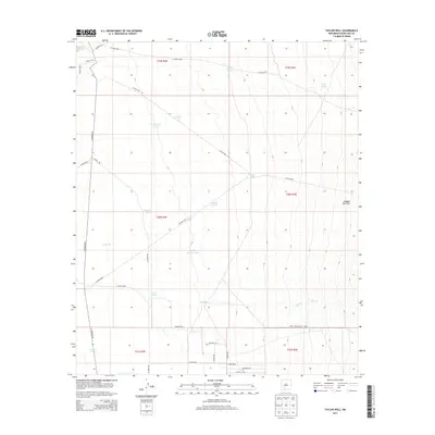
2013 Map of Taylor Well
USGS Topo · Published 2013About this map
White Sands Missile Range borders the southeastern corner of this arid landscape in Doña Ana County, highlighting the region's intersection with military activity and desert management. The terrain is characterized by a series of stock tanks and water management features essential for rangeland survival, including Taylor Tank, Frog Tank, and Pearson Tank. These water sources are scattered across the flats, such as Ragged Tank Flat, where drainage follows intermittent paths like Bear Cr.
Find a feature on this map
40 named features on this map. Tap any name to fly to it.
Don’t see what you’re looking for? This feature index may not catch every label — zoom into the map to look around manually.
Map Details
Editions of this 2013 Taylor Well Map
This is the sole edition of this map. No revisions or reprints were ever made.
Other maps of this area
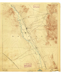
1891 · Las Cruces
USGS Topo · 1:125,000
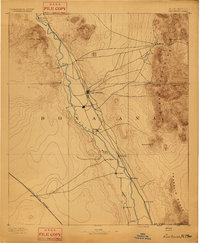
1893 · Las Cruces
USGS Topo · 1:125,000
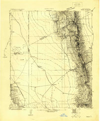
1916 · Tonuco
USGS Topo · 1:125,000
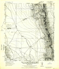
1932 · Tonuco
USGS Topo · 1:125,000
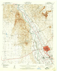
1941 · Las Cruces
USGS Topo · 1:62,500
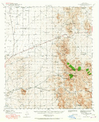
1941 · Organ Peak
USGS Topo · 1:62,500
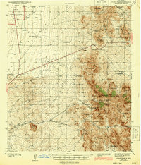
1943 · Organ Peak
USGS Topo · 1:62,500
1943 · Las Cruces
USGS Topo · 1:62,500
1948 · Bear Peak
USGS Topo · 1:62,500
1948 · San Diego Mountain
USGS Topo · 1:62,500