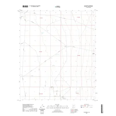
2020 Map of Taylor Well
USGS Topo · Published 2020About this map
Taylor Well and its surrounding water infrastructure define this high-desert reach of Doña Ana County, where a network of stock tanks and seasonal drainages supports local ranching operations. The landscape is marked by the presence of numerous named water sources such as White Bottom Tank, Shoellar Tank, and Brockoway Tank, which serve as vital points in an otherwise arid expanse. In the eastern portion of the map, the terrain levels out at Ragged Tank Flat near Bear Cr. To the south, modern residential development begins to emerge with street names like Doubletree St and Singletree signaling a transition from open rangeland to rural homesteads. The map illustrates the dependence on roads like Taylor Well Rd and N Jornada Rd to connect these isolated water features across the desert floor.
Find a feature on this map
40 named features on this map. Tap any name to fly to it.
Don’t see what you’re looking for? This feature index may not catch every label — zoom into the map to look around manually.
Map Details
Editions of this 2020 Taylor Well Map
This is the sole edition of this map. No revisions or reprints were ever made.
Other maps of this area
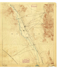
1891 · Las Cruces
USGS Topo · 1:125,000
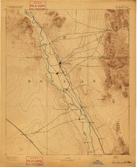
1893 · Las Cruces
USGS Topo · 1:125,000
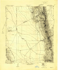
1916 · Tonuco
USGS Topo · 1:125,000
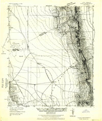
1932 · Tonuco
USGS Topo · 1:125,000
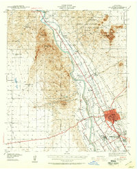
1941 · Las Cruces
USGS Topo · 1:62,500
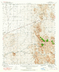
1941 · Organ Peak
USGS Topo · 1:62,500
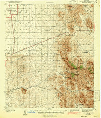
1943 · Organ Peak
USGS Topo · 1:62,500
1943 · Las Cruces
USGS Topo · 1:62,500
1948 · Bear Peak
USGS Topo · 1:62,500
1948 · San Diego Mountain
USGS Topo · 1:62,500