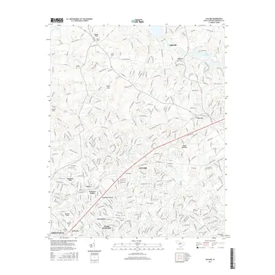
2017 Map of Taylors
USGS Topo · Published 2017About this map
Taylors and the growing northern suburbs of Greenville occupy this landscape at the intersection of several historic foothill drainage basins. The Enoree River winds through the center of the sheet, joined by smaller tributaries like Brushy Cr and Buckhorn Cr. This 2017 survey reflects a densely populated area defined by established residential developments such as Cherokee Forest, Morningside, and Wade Hampton.
Find a feature on this map
371 named features on this map. Tap any name to fly to it.
Don’t see what you’re looking for? This feature index may not catch every label — zoom into the map to look around manually.
Map Details
Editions of this 2017 Taylors Map
This is the sole edition of this map. No revisions or reprints were ever made.
Other maps of this area

1907 · Saluda
USGS Topo · 1:125,000

1935 · Greer
USGS Topo · 1:48,000

1935 · Greenville
USGS Topo · 1:48,000

1938 · Greenville
USGS Topo · 1:62,500

1938 · Greer
USGS Topo · 1:62,500

1954 · Greenville
USGS Topo · 1:250,000

1955 · Knoxville
USGS Topo · 1:250,000

1957 · Greenville
USGS Topo · 1:24,000

1957 · Greer
USGS Topo · 1:62,500

1957 · Greenville
USGS Topo · 1:62,500