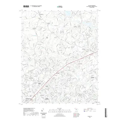
2020 Map of Taylors
USGS Topo · Published 2020About this map
Taylors and the suburban corridors of northeastern Greenville are the primary focus of this modern topographic study, showcasing a landscape where residential expansion meets the historical watercourses of the Piedmont. The Enoree River and its tributaries, including Brushy Cr and Mountain Cr, carve through the terrain, historically influencing the placement of early settlements and mills. The map detail highlights several established neighborhoods and developments such as Piedmont Park, Cherokee Forest, and Hampton Heights.
Find a feature on this map
46 named features on this map. Tap any name to fly to it.
Don’t see what you’re looking for? This feature index may not catch every label — zoom into the map to look around manually.
Map Details
Editions of this 2020 Taylors Map
This is the sole edition of this map. No revisions or reprints were ever made.
Other maps of this area

1907 · Saluda
USGS Topo · 1:125,000

1935 · Greer
USGS Topo · 1:48,000

1935 · Greenville
USGS Topo · 1:48,000

1938 · Greenville
USGS Topo · 1:62,500

1938 · Greer
USGS Topo · 1:62,500

1954 · Greenville
USGS Topo · 1:250,000

1955 · Knoxville
USGS Topo · 1:250,000

1957 · Greenville
USGS Topo · 1:24,000

1957 · Greer
USGS Topo · 1:62,500

1957 · Greenville
USGS Topo · 1:62,500