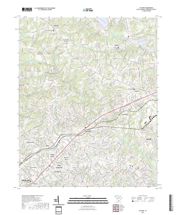
2024 Map of Taylors
USGS Topo · Published 2024About this map
Taylors stands at the center of this modern landscape in Greenville County, where the sprawling suburban growth of Greenville and Greer meets the established rural communities of the Upstate. The geography is defined by the Enoree River and Brushy Creek, which wind through a network of residential neighborhoods like Cherokee Forest and Hampton Heights. Genealogists will find a wealth of recorded burial sites, including the Faith Temple Graveyard and Milford Baptist Church Graveyard, marking the historical foundations of these Piedmont settlements. To the northwest, the terrain rises toward Paris Mtn State Park, while the eastern portion of the map is dominated by the waters of Lake Cunningham. The corridor along Wade Hampton Blvd illustrates the commercial development connecting these historic textile and agricultural centers.
Find a feature on this map
46 named features on this map. Tap any name to fly to it.
Don’t see what you’re looking for? This feature index may not catch every label — zoom into the map to look around manually.
Map Details
Editions of this 2024 Taylors Map
This is the sole edition of this map. No revisions or reprints were ever made.
Other maps of this area

1907 · Saluda
USGS Topo · 1:125,000

1935 · Greer
USGS Topo · 1:48,000

1935 · Greenville
USGS Topo · 1:48,000

1938 · Greenville
USGS Topo · 1:62,500

1938 · Greer
USGS Topo · 1:62,500

1954 · Greenville
USGS Topo · 1:250,000

1955 · Knoxville
USGS Topo · 1:250,000

1957 · Greenville
USGS Topo · 1:24,000

1957 · Greer
USGS Topo · 1:62,500

1957 · Greenville
USGS Topo · 1:62,500