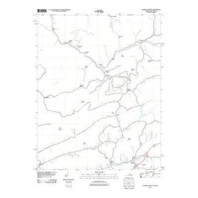
2011 Map of Tazewell North
USGS Topo · Published 2011About this map
North Tazewell and the Clinch River valley serve as the anchor for this 2011 survey, which spans the rugged borderlands between Virginia and West Virginia. The landscape is defined by its deep coal-country topography, where narrow valleys host settlements like Squire, Bishop, and Adria. Cultural landmarks such as the North Tazewell Post Office and Maplewood Cemetery mark the more developed southern portion of the quadrangle, while the northern reaches are dominated by steep hollows and ridges like Deadman Hollow and Big Stone Ridge.
Find a feature on this map
71 named features on this map. Tap any name to fly to it.
Don’t see what you’re looking for? This feature index may not catch every label — zoom into the map to look around manually.
Map Details
Editions of this 2011 Tazewell North Map
This is the sole edition of this map. No revisions or reprints were ever made.
Other maps of this area

1887 · Pocahontas
USGS Topo · 1:125,000

1891 · Tazewell
USGS Topo · 1:125,000

1891 · Pocahontas
USGS Topo · 1:125,000

1894 · Pocahontas
USGS Topo · 1:125,000

1895 · Tazewell
USGS Topo · 1:125,000

1895 · Pocahontas
USGS Topo · 1:125,000

1897 · Tazewell
USGS Topo · 1:125,000

1909 · Pocahontas Special
USGS Topo · 1:48,000

1911 · Pocahontas Special
USGS Topo · 1:62,500

1912 · Pounding Mill
USGS Topo · 1:62,500