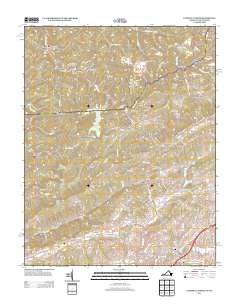
2013 Map of Tazewell North
USGS Topo · Published 2013About this map
The Clinch River headwaters and the upper reaches of Jacobs Fork define this region of the Appalachian Plateau, where the state line divides the landscape between Virginia and West Virginia. Historically significant settlements like Bishop and Horsepen are situated along the winding valley floors, surrounded by the high elevations of Sandy Ridge and Big Stone Ridge. The map traces a complex network of hollows such as Deadman Hollow and Jailhouse Hollow, which were once vital corridors for local coal mining and timber operations. In the southern portion, the urban footprint of Tazewell and North Tazewell shows the concentration of commerce and transit along the river banks. This topography illustrates the traditional settlement patterns of the Clinch Valley, where development is strictly dictated by the sharp relief of features like White Oak Ridge and the Whitley Ridge gaps.
Find a feature on this map
121 named features on this map. Tap any name to fly to it.
Don’t see what you’re looking for? This feature index may not catch every label — zoom into the map to look around manually.
Map Details
Editions of this 2013 Tazewell North Map
This is the sole edition of this map. No revisions or reprints were ever made.
Other maps of this area

1887 · Pocahontas
USGS Topo · 1:125,000

1891 · Tazewell
USGS Topo · 1:125,000

1891 · Pocahontas
USGS Topo · 1:125,000

1894 · Pocahontas
USGS Topo · 1:125,000

1895 · Tazewell
USGS Topo · 1:125,000

1895 · Pocahontas
USGS Topo · 1:125,000

1897 · Tazewell
USGS Topo · 1:125,000

1909 · Pocahontas Special
USGS Topo · 1:48,000

1911 · Pocahontas Special
USGS Topo · 1:62,500

1912 · Pounding Mill
USGS Topo · 1:62,500