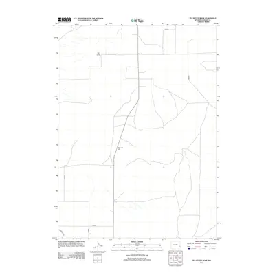
2012 Map of Tea Kettle Rock
USGS Topo · Published 2012About this map
Tea Kettle Rock and the surrounding high plains of Goshen County define this rural landscape as it appeared in the early 21st century. The map provides a detailed view of the remote ranching infrastructure, anchored by the Carpenter Ranch in the southeast corner. Significant topographic features like Ninemile Hill rise above a network of county roads, including Tea Kettle Rock Rd and Co Rd-48, which facilitate movement through this sparsely populated territory. The southern edge of the sheet is marked by the Interstate Canal, a vital piece of water management infrastructure in this arid region. This survey captures a specific moment in the Western American cattle-ranching tradition, documenting the precise layout of isolated homesteads and the naming of local landmarks that serve as essential navigational points for the local community.
Find a feature on this map
11 named features on this map. Tap any name to fly to it.
Don’t see what you’re looking for? This feature index may not catch every label — zoom into the map to look around manually.
Map Details
Editions of this 2012 Tea Kettle Rock Map
This is the sole edition of this map. No revisions or reprints were ever made.
Other maps of this area
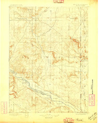
1896 · Patrick
USGS Topo · 1:125,000
1954 · Torrington
USGS Topo · 1:250,000
1958 · Torrington
USGS Topo · 1:250,000
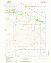
1960 · Cottier
USGS Topo · 1:24,000
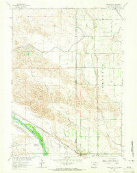
1963 · Torrington SE
USGS Topo · 1:24,000
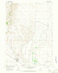
1963 · Lingle
USGS Topo · 1:24,000
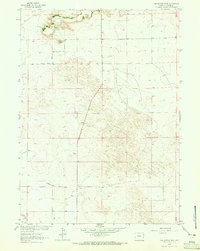
1963 · Tea Kettle Rock
USGS Topo · 1:24,000
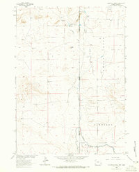
1963 · Carpenter Ranch
USGS Topo · 1:24,000
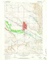
1963 · Torrington
USGS Topo · 1:24,000
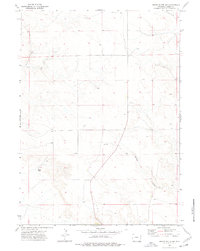
1974 · Spoon Butte SW
USGS Topo · 1:24,000