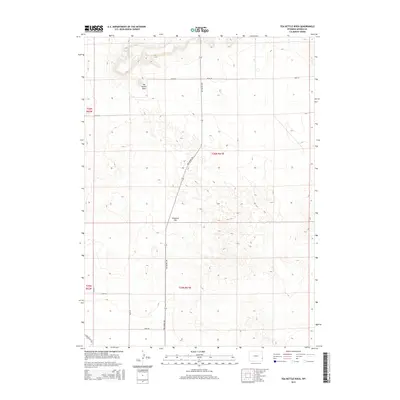
2015 Map of Tea Kettle Rock
USGS Topo · Published 2015About this map
Tea Kettle Rock stands as a prominent landmark in the high plains of northern Goshen County, anchoring a landscape defined by dramatic geological formations and open range. This 2015 survey by the U.S. Geological Survey details a sparse but deliberate network of section-line roads, such as Road 92 and Road 94, which facilitate ranching and land management in the eastern Wyoming cattle country.
Find a feature on this map
14 named features on this map. Tap any name to fly to it.
Don’t see what you’re looking for? This feature index may not catch every label — zoom into the map to look around manually.
Map Details
Editions of this 2015 Tea Kettle Rock Map
This is the sole edition of this map. No revisions or reprints were ever made.
Other maps of this area
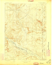
1896 · Patrick
USGS Topo · 1:125,000
1954 · Torrington
USGS Topo · 1:250,000
1958 · Torrington
USGS Topo · 1:250,000
1960 · Cottier
USGS Topo · 1:24,000
1963 · Torrington SE
USGS Topo · 1:24,000
1963 · Lingle
USGS Topo · 1:24,000
1963 · Tea Kettle Rock
USGS Topo · 1:24,000
1963 · Carpenter Ranch
USGS Topo · 1:24,000
1963 · Torrington
USGS Topo · 1:24,000
1974 · Spoon Butte SW
USGS Topo · 1:24,000