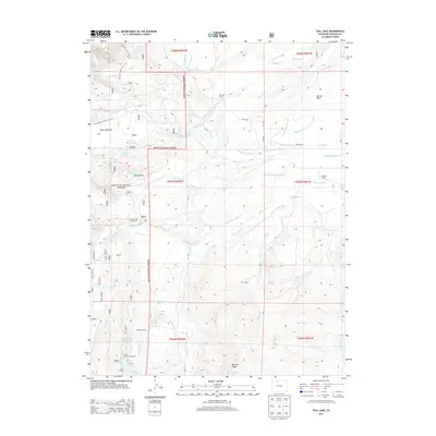
2013 Map of Teal Lake
USGS Topo · Published 2013About this map
Routt National Forest dominates this section of Jackson County, showcasing a complex network of water management features essential to high-country ranching. The landscape is defined by extensive irrigation works, including the Staples Ditch Number 2, Lucky Penny Ditch, and Easson Ditch, which redirect water across the varied terrain of Mexican Ridge and Newcomb Park. These systems support several established family operations, such as Manville Ranch and Geer Ranch.
Find a feature on this map
67 named features on this map. Tap any name to fly to it.
Don’t see what you’re looking for? This feature index may not catch every label — zoom into the map to look around manually.
Map Details
Editions of this 2013 Teal Lake Map
This is the sole edition of this map. No revisions or reprints were ever made.
Other maps of this area
1911 · Hahns Peak
USGS Topo · 1:125,000
1913 · Hahns Peak
USGS Topo · 1:125,000

1954 · Craig
USGS Topo · 1:250,000
1955 · Buffalo Pass
USGS Topo · 1:24,000
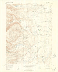
1955 · Pitchpine Mountain
USGS Topo · 1:24,000
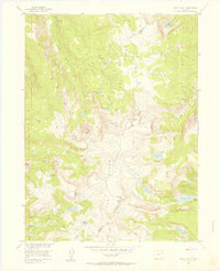
1955 · Mount Ethel
USGS Topo · 1:24,000
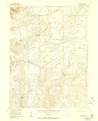
1955 · Teal Lake
USGS Topo · 1:24,000
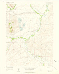
1955 · Delaney Butte
USGS Topo · 1:24,000
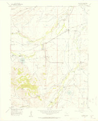
1955 · Coalmont
USGS Topo · 1:24,000
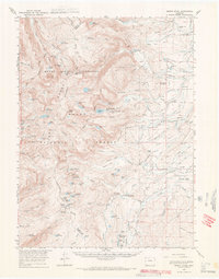
1955 · Mount Ethel
USGS Topo · 1:62,500