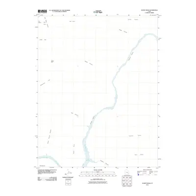
2011 Map of Teapot Rock
USGS Topo · Published 2011About this map
Teapot Rock stands as a central landmark in this high-desert reach of San Juan County, where the southern flow of the Colorado River enters the upper reaches of Lake Powell. The map illustrates a dramatic landscape of deeply incised drainages, including the formidable Cataract Canyon and the winding Teapot Canyon. To the west, the broad expanse of Waterhole Flat provides a contrast to the sharp verticality of Lands End and the Flint Trail Overlook. This survey captures the region's topographical character in the early 21st century, detailing the convergence of remote canyons like Calf Canyon and Gypsum Canyon with the river's path. Named features such as Ernies Country and Imperial Valley reflect a history of local geography and land use in one of the most secluded sections of the Colorado Plateau.
Find a feature on this map
20 named features on this map. Tap any name to fly to it.
Don’t see what you’re looking for? This feature index may not catch every label — zoom into the map to look around manually.
Map Details
Editions of this 2011 Teapot Rock Map
This is the sole edition of this map. No revisions or reprints were ever made.
Other maps of this area

1885 · San Rafael
USGS Topo · 1:250,000

1885 · La Sal
USGS Topo · 1:250,000

1886 · Henry Mountains
USGS Topo · 1:250,000

1886 · Abajo
USGS Topo · 1:250,000

1892 · Abajo
USGS Topo · 1:250,000

1892 · Henry Mountains
USGS Topo · 1:250,000

1893 · Abajo
USGS Topo · 1:250,000

1935 · Elk Ridge
USGS Topo · 1:96,000

1940 · Elk Ridge
USGS Topo · 1:125,000

1952 · Mouth of Dark Canyon
USGS Topo · 1:62,500