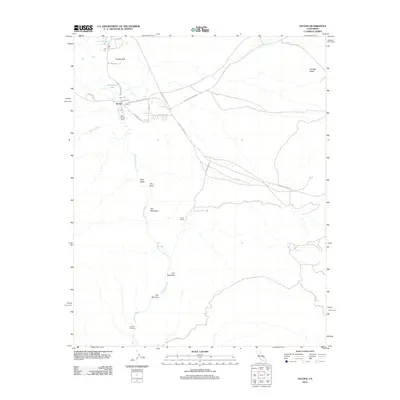
2012 Map of Tecopa
USGS Topo · Published 2012About this map
Tecopa and its surrounding desert landscapes are defined by the critical presence of water in an arid environment. The Amargosa River cuts through the region, creating distinct geographical markers such as The Palisades and The Narrows as it flows south toward Dumont Crossing. The settlement pattern centers on these aqueous resources, ranging from the thermal waters of Tecopa Hot Springs to the historic China Ranch.
Find a feature on this map
25 named features on this map. Tap any name to fly to it.
Don’t see what you’re looking for? This feature index may not catch every label — zoom into the map to look around manually.
Map Details
Editions of this 2012 Tecopa Map
This is the sole edition of this map. No revisions or reprints were ever made.
Other maps of this area

1933 · Avawatz Mountains
USGS Topo · 1:250,000

1947 · Trona
USGS Topo · 1:250,000

1948 · Trona
USGS Topo · 1:250,000

1948 · Avawatz Pass
USGS Topo · 1:62,500

1950 · Tecopa
USGS Topo · 1:62,500

1951 · Avawatz Pass
USGS Topo · 1:62,500

1951 · Tecopa
USGS Topo · 1:62,500

1951 · Shoshone
USGS Topo · 1:62,500

1953 · Trona
USGS Topo · 1:250,000

1956 · Silurian Hills
USGS Topo · 1:62,500