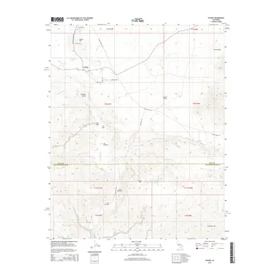
2015 Map of Tecopa
USGS Topo · Published 2015About this map
Tecopa and the Tecopa Hot Springs anchor this desert landscape within the Mojave Desert, where geothermal activity and river drainage define the local geography. The Amargosa River flows southward through the Amargosa Canyon, creating a riparian corridor that contrasts sharply with the surrounding arid terrain of the Tecopa Hills and Chicago Valley. This 2015 survey illustrates a network of desert roads such as Furnace Creek Rd and China Ranch Rd that connect remote springs and geological formations.
Find a feature on this map
35 named features on this map. Tap any name to fly to it.
Don’t see what you’re looking for? This feature index may not catch every label — zoom into the map to look around manually.
Map Details
Editions of this 2015 Tecopa Map
This is the sole edition of this map. No revisions or reprints were ever made.
Other maps of this area
1933 · Avawatz Mountains
USGS Topo · 1:250,000
1947 · Trona
USGS Topo · 1:250,000
1948 · Trona
USGS Topo · 1:250,000
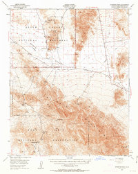
1948 · Avawatz Pass
USGS Topo · 1:62,500
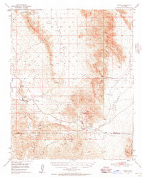
1950 · Tecopa
USGS Topo · 1:62,500
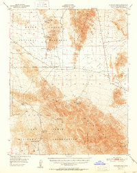
1951 · Avawatz Pass
USGS Topo · 1:62,500
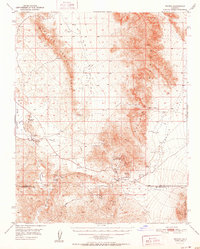
1951 · Tecopa
USGS Topo · 1:62,500
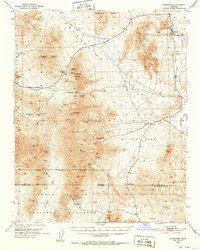
1951 · Shoshone
USGS Topo · 1:62,500
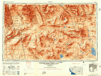
1953 · Trona
USGS Topo · 1:250,000
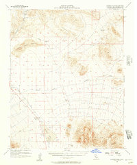
1956 · Silurian Hills
USGS Topo · 1:62,500