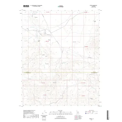
2018 Map of Tecopa
USGS Topo · Published 2018About this map
Tecopa and the thermal waters of Tecopa Hot Springs anchor this portion of the southern Mojave Desert near the California and Nevada border. The landscape is defined by the ephemeral Amargosa River, which flows through the dramatic Amargosa Canyon and past Grimshaw Lake before winding through The Meadows. This region serves as a critical hydrologic corridor in an otherwise arid environment, where water sources like Willow Spring and the Sperry Wash dictate the location of roads and historical activity.
Find a feature on this map
37 named features on this map. Tap any name to fly to it.
Don’t see what you’re looking for? This feature index may not catch every label — zoom into the map to look around manually.
Map Details
Editions of this 2018 Tecopa Map
This is the sole edition of this map. No revisions or reprints were ever made.
Other maps of this area
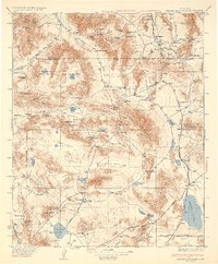
1933 · Avawatz Mountains
USGS Topo · 1:250,000
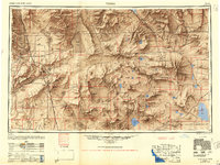
1947 · Trona
USGS Topo · 1:250,000
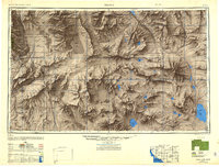
1948 · Trona
USGS Topo · 1:250,000
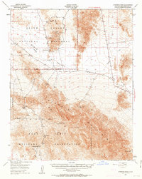
1948 · Avawatz Pass
USGS Topo · 1:62,500
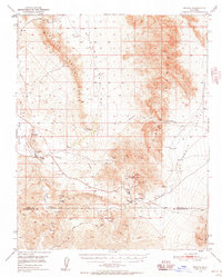
1950 · Tecopa
USGS Topo · 1:62,500
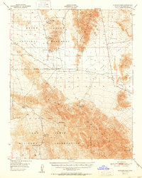
1951 · Avawatz Pass
USGS Topo · 1:62,500
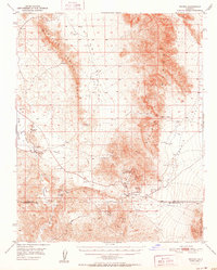
1951 · Tecopa
USGS Topo · 1:62,500
1951 · Shoshone
USGS Topo · 1:62,500
1953 · Trona
USGS Topo · 1:250,000
1956 · Silurian Hills
USGS Topo · 1:62,500