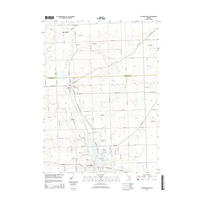
2014 Map of Tecumseh North
USGS Topo · Published 2014About this map
The River Raisin carves a winding path through this southern Michigan landscape, connecting the historic communities of Tecumseh, Clinton, and the smaller settlement of Newburg. This 2014 survey documents the dense network of rural roads and family-named landmarks that define the border between Washtenaw and Lenawee counties. A series of water bodies, including Red Millpond, Standish Pond, and the Saline River, indicate the historical importance of water power and management in the region's development.
Find a feature on this map
112 named features on this map. Tap any name to fly to it.
Don’t see what you’re looking for? This feature index may not catch every label — zoom into the map to look around manually.
Map Details
Editions of this 2014 Tecumseh North Map
This is the sole edition of this map. No revisions or reprints were ever made.
Other maps of this area

1904 · Ann Arbor
USGS Topo · 1:125,000

1906 · Saline
USGS Topo · 1:62,500

1908 · Ann Arbor
USGS Topo · 1:125,000

1939 · Blissfield
USGS Topo · 1:62,500

1941 · Blissfield
USGS Topo · 1:62,500

1948 · Manchester
USGS Topo · 1:62,500

1949 · Manchester
USGS Topo · 1:62,500

1953 · Fort Wayne
USGS Topo · 1:250,000

1954 · Detroit
USGS Topo · 1:250,000

1956 · Fort Wayne
USGS Topo · 1:250,000