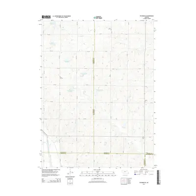
2014 Map of Tecumseh SE
USGS Topo · Published 2014About this map
Agricultural lands at the intersection of Johnson, Nemaha, Pawnee, and Richardson counties define this 2014 survey. The terrain is deeply carved by the North Fork Big Nemaha River and its numerous tributaries, including Robinson Cr and Todd Cr. This drainage network is heavily managed through a series of flood control structures, such as Long Br Reservoir Number 71, Long Br Reservoir Number 2, and Spring Cr Reservoir 9-A, illustrating the local efforts to stabilize the watershed.
Find a feature on this map
47 named features on this map. Tap any name to fly to it.
Don’t see what you’re looking for? This feature index may not catch every label — zoom into the map to look around manually.
Map Details
Editions of this 2014 Tecumseh SE Map
This is the sole edition of this map. No revisions or reprints were ever made.
Other maps of this area

1915 · Howe
USGS Topo · 1:62,500

1916 · Humboldt
USGS Topo · 1:62,500

1955 · Nebraska City
USGS Topo · 1:250,000

1955 · Lincoln
USGS Topo · 1:250,000

1957 · Nebraska City
USGS Topo · 1:250,000

1957 · Lincoln
USGS Topo · 1:250,000

1958 · Lincoln
USGS Topo · 1:250,000

1958 · Nebraska City
USGS Topo · 1:250,000

1965 · Table Rock
USGS Topo · 1:24,000

1965 · Tecumseh
USGS Topo · 1:24,000