
1965 Map of Tecumseh
USGS Topo · Published 1966About this map
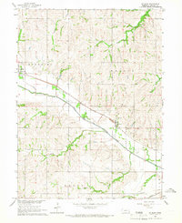
Tecumseh serves as the focal point of this mid-1960s survey, situated at the confluence of the North Fork and the Big Nemaha River. The town's infrastructure at this time is defined by its role as a regional transit hub, where the Chicago Burlington and Quincy and Chicago and North Western rail lines intersected near the County Fairground. South of the city, the landscape transitions into the agricultural sections of Todd Creek and Steinauer, marked by a network of rural schoolhouses and small creeks.
Find a feature on this map
29 named features on this map. Tap any name to fly to it.
Don’t see what you’re looking for? This feature index may not catch every label — zoom into the map to look around manually.
Map Details
Editions of this 1965 Tecumseh Map
This is the sole edition of this map. No revisions or reprints were ever made.
Other maps of this area

1955 · Lincoln
USGS Topo · 1:250,000

1957 · Lincoln
USGS Topo · 1:250,000

1958 · Lincoln
USGS Topo · 1:250,000

1965 · Burchard
USGS Topo · 1:24,000

1965 · Table Rock
USGS Topo · 1:24,000
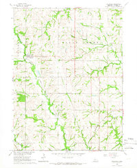
1965 · Steinauer
USGS Topo · 1:24,000
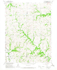
1965 · Tecumseh SE
USGS Topo · 1:24,000
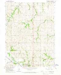
1965 · Tecumseh NW
USGS Topo · 1:24,000
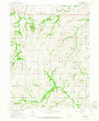
1965 · Vesta
USGS Topo · 1:24,000
1965 · St. Mary
USGS Topo · 1:24,000