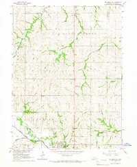
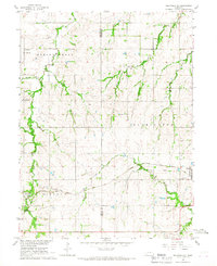
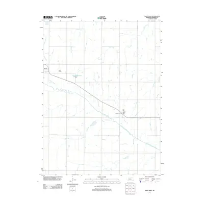
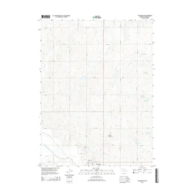
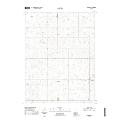
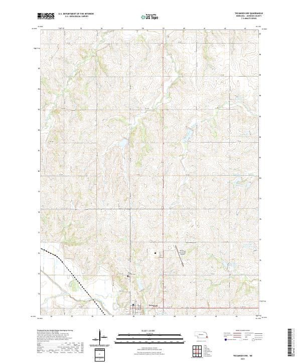
1965 Map of Tecumseh NW
USGS Topo · Published 1966About this map
Tecumseh sits at the southern edge of this Johnson County landscape, where the North Fork Big Nemaha River creates a wide valley floor defined by the Chicago Burlington and Quincy Railroad. The mid-1960s terrain shows a transition from the agricultural uplands of Helena and Lincoln townships down to the river bottoms. This area is characterized by a dense network of watercourses, including Turkey Creek, Coon Creek, and the long reach of Spring Creek, which drain into the river.
Find a feature on this map
19 named features on this map. Tap any name to fly to it.
Don’t see what you’re looking for? This feature index may not catch every label — zoom into the map to look around manually.
Map Details
Editions of this 1965 Tecumseh NW Map
This is the sole edition of this map. No revisions or reprints were ever made.
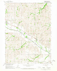
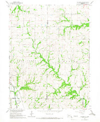
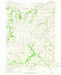
Historical Maps of Tecumseh Through Time
25 maps found
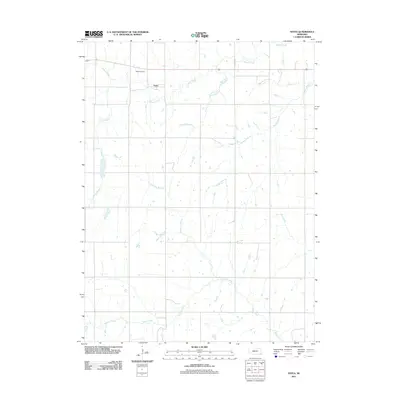
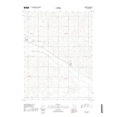
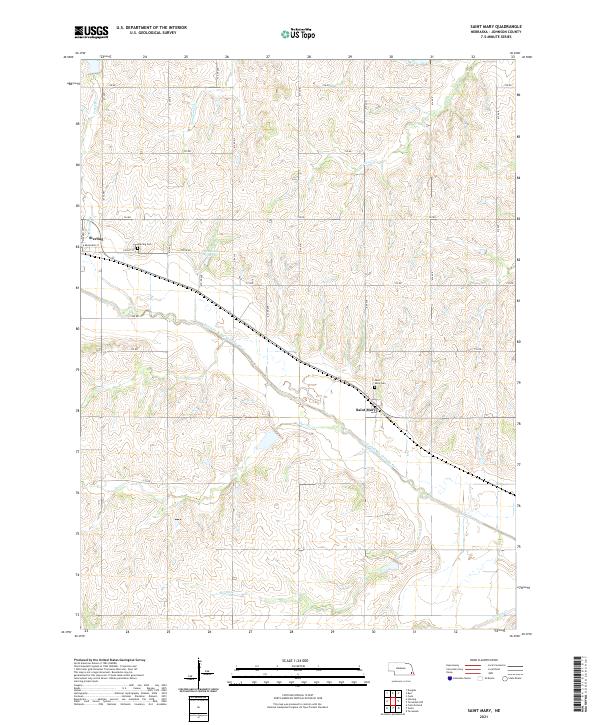
1965 St. Mary
Johnson County, NE
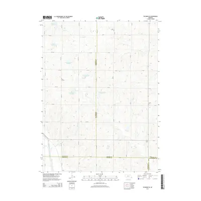
1965 Tecumseh NW
Johnson County, NE
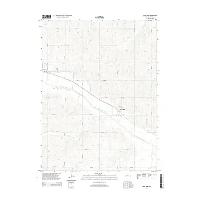
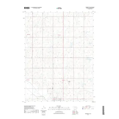
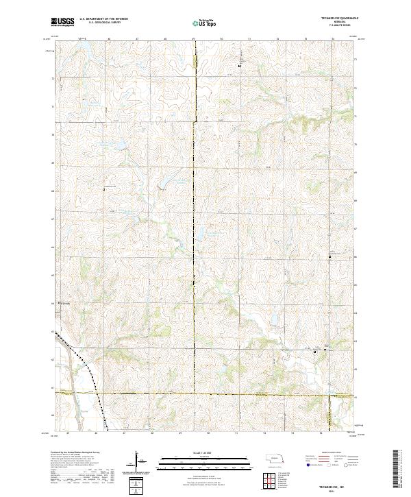
1965 Tecumseh SE
Johnson County, NE
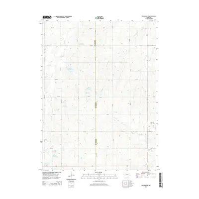
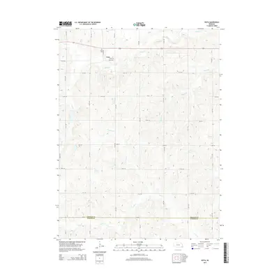
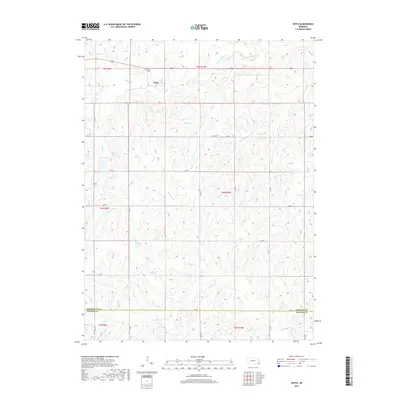
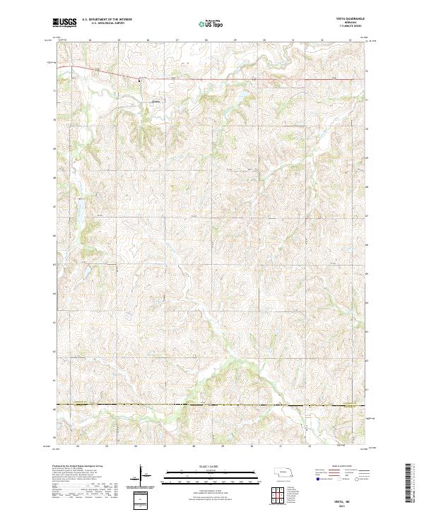
1965 Vesta
Johnson County, NE
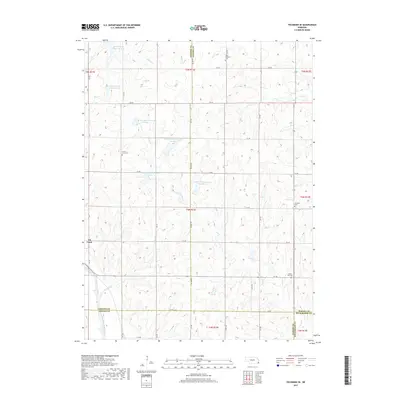
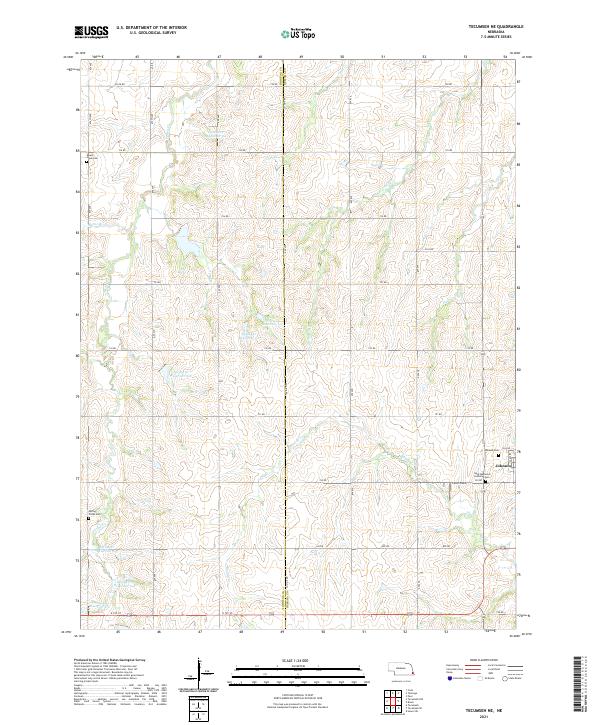
1966 Tecumseh NE
Johnson County, NE
2011 Tecumseh NE
Johnson County, NE
2011 Tecumseh NW
Johnson County, NE
2011 Tecumseh SE
Johnson County, NE
2011 Vesta
Johnson County, NE
2012 Saint Mary
Johnson County, NE
2014 Saint Mary
Johnson County, NE
2014 Tecumseh NE
Johnson County, NE
2014 Tecumseh NW
Johnson County, NE
2014 Tecumseh SE
Johnson County, NE
2014 Vesta
Johnson County, NE
2017 Saint Mary
Johnson County, NE
2017 Tecumseh NE
Johnson County, NE
2017 Tecumseh NW
Johnson County, NE
2017 Tecumseh SE
Johnson County, NE
2017 Vesta
Johnson County, NE
2021 Saint Mary
Johnson County, NE
2021 Tecumseh NE
Johnson County, NE
2021 Tecumseh NW
Johnson County, NE
2021 Tecumseh SE
Johnson County, NE
2021 Vesta
Johnson County, NE