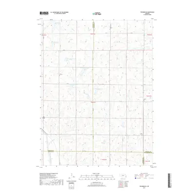
2017 Map of Tecumseh SE
USGS Topo · Published 2017About this map
Elk Creek anchors the western edge of this landscape, situated near the intersection of 4th St and the section lines that define this agricultural region. The terrain is defined by a dense network of tributaries and managed water resources, including the North Fork Big Nemaha River and numerous flood control structures such as Long Branch Reservoir Number 71 and Spring Creek Reservoir 9-B. These features illustrate the intensive water management required to support the local farming economy across the Johnson, Nemaha, Pawnee, and Richardson county lines.
Find a feature on this map
46 named features on this map. Tap any name to fly to it.
Don’t see what you’re looking for? This feature index may not catch every label — zoom into the map to look around manually.
Map Details
Editions of this 2017 Tecumseh SE Map
This is the sole edition of this map. No revisions or reprints were ever made.
Other maps of this area

1915 · Howe
USGS Topo · 1:62,500

1916 · Humboldt
USGS Topo · 1:62,500

1955 · Nebraska City
USGS Topo · 1:250,000

1955 · Lincoln
USGS Topo · 1:250,000

1957 · Nebraska City
USGS Topo · 1:250,000

1957 · Lincoln
USGS Topo · 1:250,000

1958 · Lincoln
USGS Topo · 1:250,000

1958 · Nebraska City
USGS Topo · 1:250,000

1965 · Table Rock
USGS Topo · 1:24,000

1965 · Tecumseh
USGS Topo · 1:24,000