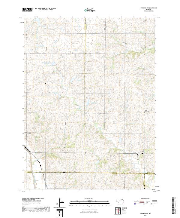
2021 Map of Tecumseh SE
USGS Topo · Published 2021About this map
The village of Elk Creek sits at the western edge of this agricultural landscape in Southeast Nebraska, where the border of Johnson and Pawnee counties meets several others. The terrain is defined by the drainage network of the North Fork Big Nemaha River and its tributaries, including Muddy Cr and Robinson Cr. A series of water management features are prominent across the countryside, specifically Long Br Reservoir Number 2 and several other numbered impoundments along Long Br.
Find a feature on this map
48 named features on this map. Tap any name to fly to it.
Don’t see what you’re looking for? This feature index may not catch every label — zoom into the map to look around manually.
Map Details
Editions of this 2021 Tecumseh SE Map
This is the sole edition of this map. No revisions or reprints were ever made.
Other maps of this area

1915 · Howe
USGS Topo · 1:62,500

1916 · Humboldt
USGS Topo · 1:62,500

1955 · Nebraska City
USGS Topo · 1:250,000

1955 · Lincoln
USGS Topo · 1:250,000

1957 · Nebraska City
USGS Topo · 1:250,000

1957 · Lincoln
USGS Topo · 1:250,000

1958 · Lincoln
USGS Topo · 1:250,000

1958 · Nebraska City
USGS Topo · 1:250,000

1965 · Table Rock
USGS Topo · 1:24,000

1965 · Tecumseh
USGS Topo · 1:24,000