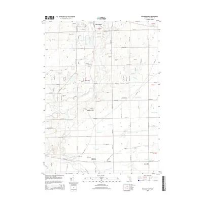
2014 Map of Tecumseh South
USGS Topo · Published 2014About this map
The River Raisin meanders through this agricultural section of Lenawee County, defining a landscape of drainage ditches and small rail-centered settlements. In the southern portion of the map, Lenawee Junction and Wellsville stand as remnants of the area's transportation history, where rural commerce once met the tracks. The map is particularly rich in genealogical data, preserving the locations of numerous small burial grounds such as the Holdridge Family Cem and the Clark Family Cem.
Find a feature on this map
121 named features on this map. Tap any name to fly to it.
Don’t see what you’re looking for? This feature index may not catch every label — zoom into the map to look around manually.
Map Details
Editions of this 2014 Tecumseh South Map
This is the sole edition of this map. No revisions or reprints were ever made.
Other maps of this area

1904 · Ann Arbor
USGS Topo · 1:125,000

1906 · Saline
USGS Topo · 1:62,500

1908 · Ann Arbor
USGS Topo · 1:125,000

1939 · Blissfield
USGS Topo · 1:62,500

1941 · Blissfield
USGS Topo · 1:62,500

1948 · Manchester
USGS Topo · 1:62,500

1949 · Manchester
USGS Topo · 1:62,500

1953 · Fort Wayne
USGS Topo · 1:250,000

1954 · Detroit
USGS Topo · 1:250,000

1956 · Fort Wayne
USGS Topo · 1:250,000