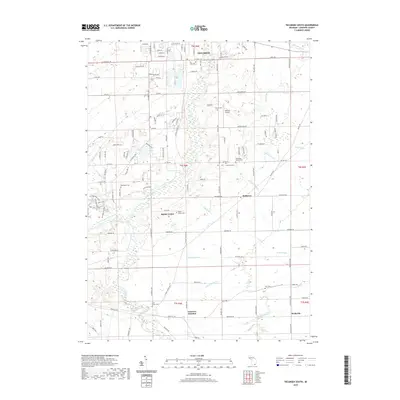
2019 Map of Tecumseh South
USGS Topo · Published 2019About this map
River Raisin and the South Branch River Raisin converge in this portion of Lenawee County, defining a landscape of agricultural drainage and small rural settlements. The southern outskirts of Tecumseh give way to a network of creeks and man-made drains, including the Sutton Drain and Miller Drain, which support the region's long-standing farming tradition. For genealogists and local historians, the area is notable for its numerous small burial sites, such as the Holdridge Family Cem and Clark Family Cem, alongside established community hubs like Raisin Center and Holloway. The southeastern corner shows Wellsville and the rail-oriented Lenawee Junction, where local transport routes once intersected. This map documents the persistent rural character of the Raisin River valley, showing the intricate balance between natural watercourses like Swamp Raisin Cr and the structured road grid of the Township and Range system.
Find a feature on this map
128 named features on this map. Tap any name to fly to it.
Don’t see what you’re looking for? This feature index may not catch every label — zoom into the map to look around manually.
Map Details
Editions of this 2019 Tecumseh South Map
This is the sole edition of this map. No revisions or reprints were ever made.
Other maps of this area

1904 · Ann Arbor
USGS Topo · 1:125,000

1906 · Saline
USGS Topo · 1:62,500

1908 · Ann Arbor
USGS Topo · 1:125,000

1939 · Blissfield
USGS Topo · 1:62,500

1941 · Blissfield
USGS Topo · 1:62,500

1948 · Manchester
USGS Topo · 1:62,500

1949 · Manchester
USGS Topo · 1:62,500

1953 · Fort Wayne
USGS Topo · 1:250,000

1954 · Detroit
USGS Topo · 1:250,000

1956 · Fort Wayne
USGS Topo · 1:250,000