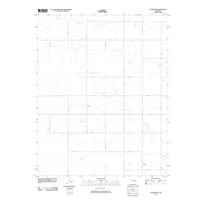
2010 Map of Tegarden SE
USGS Topo · Published 2010About this map
The rolling plains of Woods County are defined by a grid of section roads and the meandering paths of several drainage systems in this 2010 survey. Little Eagle Chief Creek trends southeast through the center of the quadrangle, while Turkey Creek and Boggy Creek carve patterns across the northern half of the map. These waterways were critical to early settlement in a region where water sources dictated the placement of homesteads and grazing lands.
Find a feature on this map
20 named features on this map. Tap any name to fly to it.
Don’t see what you’re looking for? This feature index may not catch every label — zoom into the map to look around manually.
Map Details
Editions of this 2010 Tegarden SE Map
This is the sole edition of this map. No revisions or reprints were ever made.
Other maps of this area

1955 · Woodward
USGS Topo · 1:250,000

1958 · Woodward
USGS Topo · 1:250,000

1969 · Tegarden NE
USGS Topo · 1:24,000

1969 · Tegarden SE
USGS Topo · 1:24,000

1969 · Waynoka NW
USGS Topo · 1:24,000

1969 · Tegarden NW
USGS Topo · 1:24,000

1969 · Hopeton
USGS Topo · 1:24,000

1969 · Avard
USGS Topo · 1:24,000

1969 · Alva NW
USGS Topo · 1:24,000

1969 · Tegarden
USGS Topo · 1:24,000