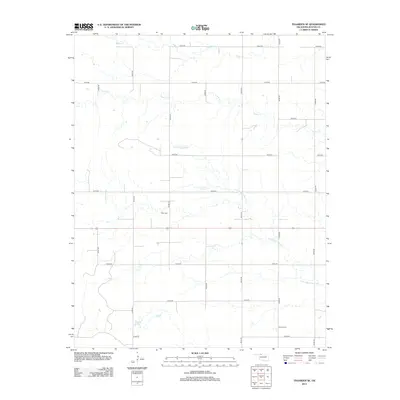
2012 Map of Tegarden SE
USGS Topo · Published 2012About this map
Star Cem and Manila Cem stand as quiet markers of rural heritage in this pocket of Woods County, Oklahoma. The landscape is defined by the headwaters and winding channels of Little Eagle Chief Cr and Turkey Cr, which drain the undulating agricultural plains. The road network follows the classic township and range grid, with gravel routes like e0140 RD and n2340 RD providing access to isolated farmsteads and fields. This 2012 survey illustrates the enduring nature of the southern plains' land divisions, where the primary infrastructure consists of these section-line roads and the seasonal drainage of Boggy Cr. The placement of the cemeteries away from established towns highlights the historical pattern of dispersed rural communities and family burial grounds in the region's ranching and farming history.
Find a feature on this map
20 named features on this map. Tap any name to fly to it.
Don’t see what you’re looking for? This feature index may not catch every label — zoom into the map to look around manually.
Map Details
Editions of this 2012 Tegarden SE Map
This is the sole edition of this map. No revisions or reprints were ever made.
Other maps of this area
1955 · Woodward
USGS Topo · 1:250,000
1958 · Woodward
USGS Topo · 1:250,000
1969 · Tegarden NE
USGS Topo · 1:24,000
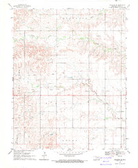
1969 · Tegarden SE
USGS Topo · 1:24,000
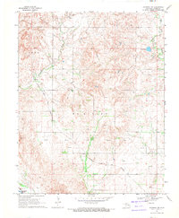
1969 · Waynoka NW
USGS Topo · 1:24,000
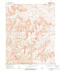
1969 · Tegarden NW
USGS Topo · 1:24,000
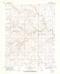
1969 · Hopeton
USGS Topo · 1:24,000
1969 · Avard
USGS Topo · 1:24,000
1969 · Alva NW
USGS Topo · 1:24,000
1969 · Tegarden
USGS Topo · 1:24,000