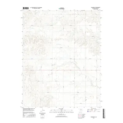
2016 Map of Tegarden SE
USGS Topo · Published 2016About this map
Little Eagle-Chief Creek meanders through this section of Woods County, defining the drainage patterns of a landscape marked by agrarian land divisions and rural infrastructure. The map reveals the placement of essential local landmarks for genealogists, including Star Cemetery and Manila Cemetery, which serve as physical links to the families who settled this region of Oklahoma. The terrain is further etched by several smaller watercourses, including Turkey Creek and Boggy Creek, flowing through a grid of county roads that have supported the local farming community for generations. This survey reflects the enduring spatial organization of the southern Tegarden area, where named routes like Johnston Road and Harper Road provide the primary framework for contemporary navigation and historical land-use research.
Find a feature on this map
20 named features on this map. Tap any name to fly to it.
Don’t see what you’re looking for? This feature index may not catch every label — zoom into the map to look around manually.
Map Details
Editions of this 2016 Tegarden SE Map
This is the sole edition of this map. No revisions or reprints were ever made.
Other maps of this area
1955 · Woodward
USGS Topo · 1:250,000
1958 · Woodward
USGS Topo · 1:250,000
1969 · Tegarden NE
USGS Topo · 1:24,000
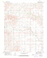
1969 · Tegarden SE
USGS Topo · 1:24,000
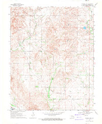
1969 · Waynoka NW
USGS Topo · 1:24,000
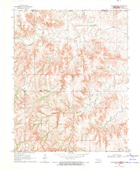
1969 · Tegarden NW
USGS Topo · 1:24,000
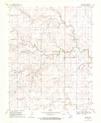
1969 · Hopeton
USGS Topo · 1:24,000
1969 · Avard
USGS Topo · 1:24,000
1969 · Alva NW
USGS Topo · 1:24,000
1969 · Tegarden
USGS Topo · 1:24,000