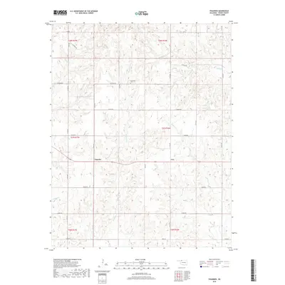
2018 Map of Tegarden
USGS Topo · Published 2018About this map
The small rural settlements of Tegarden and Cora anchor this part of Woods County, where the plains are deeply dissected by a network of seasonal watercourses. The landscape is defined by the branching drainages of Whitehorse Cr, Eagle Chief Cr, and Turkey Cr, creating a complex system of draws and ridges that dictated the placement of local roads. Many of these thoroughfares follow section lines, such as Harper Rd and Harmon Rd, while others trace the high ground between the creek beds.
Find a feature on this map
29 named features on this map. Tap any name to fly to it.
Don’t see what you’re looking for? This feature index may not catch every label — zoom into the map to look around manually.
Map Details
Editions of this 2018 Tegarden Map
This is the sole edition of this map. No revisions or reprints were ever made.
Other maps of this area
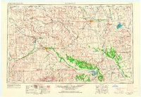
1955 · Woodward
USGS Topo · 1:250,000
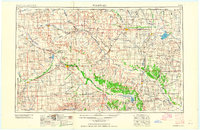
1958 · Woodward
USGS Topo · 1:250,000
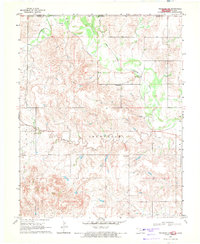
1969 · Tegarden NE
USGS Topo · 1:24,000
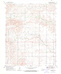
1969 · Tegarden SE
USGS Topo · 1:24,000
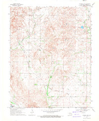
1969 · Waynoka NW
USGS Topo · 1:24,000
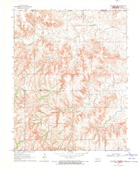
1969 · Tegarden NW
USGS Topo · 1:24,000
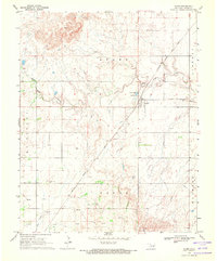
1969 · Avard
USGS Topo · 1:24,000
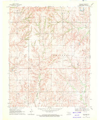
1969 · Tegarden
USGS Topo · 1:24,000
1970 · Freedom NE
USGS Topo · 1:24,000
1970 · Fairvalley
USGS Topo · 1:24,000