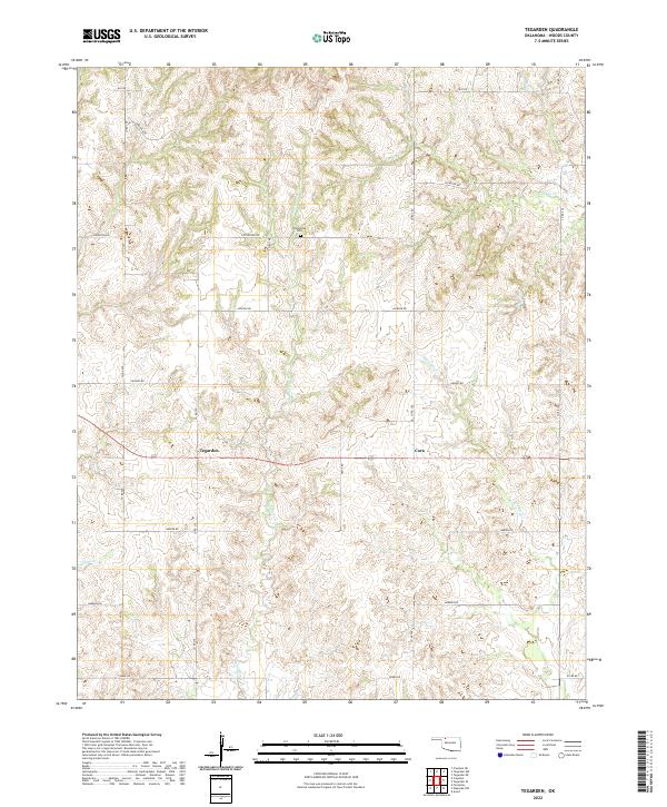
2022 Map of Tegarden
USGS Topo · Published 2022About this map
Tegarden and Cora anchor this rural landscape in Woods County, where the topography is defined by the winding drainages of Whitehorse Cr and Eagle Chief Cr. The area reflects a classic Oklahoma section-line grid, with an extensive network of local roads including Jackson Rd, Hughes Rd, and Harper Rd providing access to the interior ranchlands and farms. Near the northern reach of Whitehorse Cr, the Whitehorse Cem stands as a significant landmark for genealogists and local historians tracking early settlers of the region. This 2022 survey illustrates the enduring agricultural character of the territory, showing the relationship between the natural creek valleys, like Turkey Cr and Wildcat Cr, and the human-defined boundaries of Townships 26, 27, and 28 North.
Find a feature on this map
28 named features on this map. Tap any name to fly to it.
Don’t see what you’re looking for? This feature index may not catch every label — zoom into the map to look around manually.
Map Details
Editions of this 2022 Tegarden Map
This is the sole edition of this map. No revisions or reprints were ever made.
Other maps of this area

1955 · Woodward
USGS Topo · 1:250,000

1958 · Woodward
USGS Topo · 1:250,000

1969 · Tegarden NE
USGS Topo · 1:24,000

1969 · Tegarden SE
USGS Topo · 1:24,000

1969 · Waynoka NW
USGS Topo · 1:24,000

1969 · Tegarden NW
USGS Topo · 1:24,000

1969 · Avard
USGS Topo · 1:24,000

1969 · Tegarden
USGS Topo · 1:24,000

1970 · Freedom NE
USGS Topo · 1:24,000

1970 · Fairvalley
USGS Topo · 1:24,000