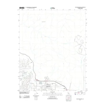
2012 Map of Tehachapi North
USGS Topo · Published 2012About this map
The high mountain plateau of eastern Kern County is defined here by the city of Tehachapi and its surrounding agricultural and residential landscapes. This 2012 survey illustrates the transition from the core settlement at Tehachapi, including the College of the Tehachapis, to the more dispersed legacy properties of Old Town and Hall Ranch. The area's essential infrastructure, such as the Tehachapi Municipal Airport and the rail-oriented siding at Cable, is clearly documented alongside recreational spaces like the Golden Hills Golf Course.
Find a feature on this map
107 named features on this map. Tap any name to fly to it.
Don’t see what you’re looking for? This feature index may not catch every label — zoom into the map to look around manually.
Map Details
Editions of this 2012 Tehachapi North Map
This is the sole edition of this map. No revisions or reprints were ever made.
Other maps of this area
1914 · Caliente
USGS Topo · 1:125,000
1915 · Mojave
USGS Topo · 1:125,000
1943 · Tehachapi
USGS Topo · 1:62,500
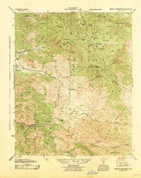
1943 · Emerald Mtn
USGS Topo · 1:62,500
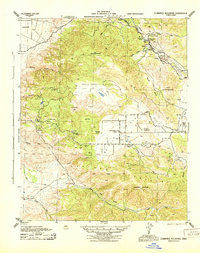
1943 · Cummings Mountain
USGS Topo · 1:62,500
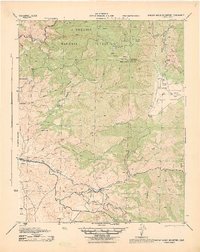
1943 · Breckenridge Mountain
USGS Topo · 1:62,500
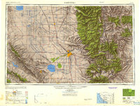
1948 · Bakersfield
USGS Topo · 1:250,000
1955 · Bakersfield
USGS Topo · 1:250,000
1956 · Bakersfield
USGS Topo · 1:250,000
1960 · Bakersfield
USGS Topo · 1:250,000