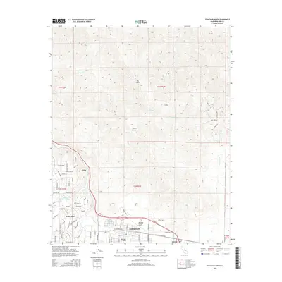
2015 Map of Tehachapi North
USGS Topo · Published 2015About this map
Tehachapi serves as the focal point of this high-altitude landscape, situated where the Tehachapi Valley meets the surrounding mountain terrain. The map details the transition from the concentrated street grid of the city to the evolving residential layouts of Golden Hills and the older roots of Old Town. Infrastructure like the Tehachapi Municipal Airport and the rail-aligned locations of Cable and Summit illustrate the area's importance as a transportation corridor through the pass.
Find a feature on this map
78 named features on this map. Tap any name to fly to it.
Don’t see what you’re looking for? This feature index may not catch every label — zoom into the map to look around manually.
Map Details
Editions of this 2015 Tehachapi North Map
This is the sole edition of this map. No revisions or reprints were ever made.
Other maps of this area

1914 · Caliente
USGS Topo · 1:125,000

1915 · Mojave
USGS Topo · 1:125,000

1943 · Tehachapi
USGS Topo · 1:62,500

1943 · Emerald Mtn
USGS Topo · 1:62,500

1943 · Cummings Mountain
USGS Topo · 1:62,500

1943 · Breckenridge Mountain
USGS Topo · 1:62,500

1948 · Bakersfield
USGS Topo · 1:250,000

1955 · Bakersfield
USGS Topo · 1:250,000

1956 · Bakersfield
USGS Topo · 1:250,000

1960 · Bakersfield
USGS Topo · 1:250,000