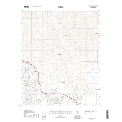
2018 Map of Tehachapi North
USGS Topo · Published 2018About this map
Tehachapi sits at the southern edge of this survey, serving as a vital hub where the Tehachapi Valley meets the rising terrain of the Sierra Nevada. The landscape is defined by the heavy infrastructure of the Union Pacific Railroad, which winds through the mountain passes, navigating significant elevation changes at Cable and Summit. This corridor has long been a critical transit point for rail traffic between the Central Valley and the Mojave Desert. Beyond the industrial tracks, the map reveals a mix of residential growth and natural drainages like Tehachapi Cr and Brite Creek Wash. The presence of the Tehachapi Municipal Airport and local landmarks such as Tom Sawyer Lake and the Kingdom Hall of Jehovah's Witnesses provide a detailed look at the community's layout in the late 2010s.
Find a feature on this map
154 named features on this map. Tap any name to fly to it.
Don’t see what you’re looking for? This feature index may not catch every label — zoom into the map to look around manually.
Map Details
Editions of this 2018 Tehachapi North Map
This is the sole edition of this map. No revisions or reprints were ever made.
Other maps of this area

1914 · Caliente
USGS Topo · 1:125,000

1915 · Mojave
USGS Topo · 1:125,000

1943 · Tehachapi
USGS Topo · 1:62,500

1943 · Emerald Mtn
USGS Topo · 1:62,500

1943 · Cummings Mountain
USGS Topo · 1:62,500

1943 · Breckenridge Mountain
USGS Topo · 1:62,500

1948 · Bakersfield
USGS Topo · 1:250,000

1955 · Bakersfield
USGS Topo · 1:250,000

1956 · Bakersfield
USGS Topo · 1:250,000

1960 · Bakersfield
USGS Topo · 1:250,000