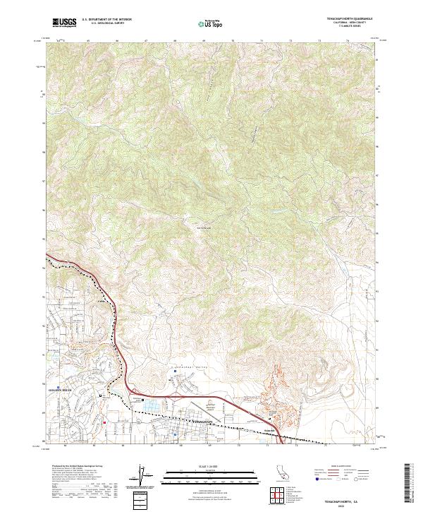
2022 Map of Tehachapi North
USGS Topo · Published 2022About this map
Tehachapi and Golden Hills anchor this modern topographic study of the Tehachapi Valley, situated at the southern end of the Sierra Nevada range. The landscape is defined by the convergence of mountain terrain and civic infrastructure, most notably the Tehachapi Municipal Airport and the complex rail-and-road pass at Summit. For genealogists and local historians, several burial grounds are documented, including the Old Tehachapi Cem, Tehachapi-Public Westside Cem, and Tehachapi Eastside Cem. The map traces the winding course of Tehachapi Cr and its tributaries such as Brite Cr and Tweedy Cr. Deep canyons like Hog Canyon and Tollgate Canyon mark the northern elevations, while a network of modern trails such as the Warrior Loop Trl and Aimee's Loop Trl demonstrate the area's contemporary recreational development.
Find a feature on this map
126 named features on this map. Tap any name to fly to it.
Don’t see what you’re looking for? This feature index may not catch every label — zoom into the map to look around manually.
Map Details
Editions of this 2022 Tehachapi North Map
This is the sole edition of this map. No revisions or reprints were ever made.
Other maps of this area

1914 · Caliente
USGS Topo · 1:125,000

1915 · Mojave
USGS Topo · 1:125,000

1943 · Tehachapi
USGS Topo · 1:62,500

1943 · Emerald Mtn
USGS Topo · 1:62,500

1943 · Cummings Mountain
USGS Topo · 1:62,500

1943 · Breckenridge Mountain
USGS Topo · 1:62,500

1948 · Bakersfield
USGS Topo · 1:250,000

1955 · Bakersfield
USGS Topo · 1:250,000

1956 · Bakersfield
USGS Topo · 1:250,000

1960 · Bakersfield
USGS Topo · 1:250,000