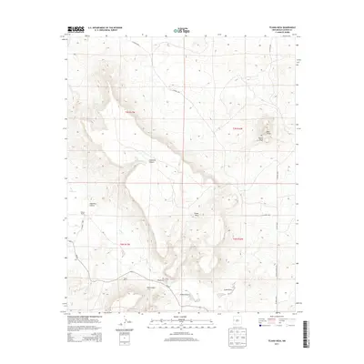
2013 Map of Tejana Mesa
USGS Topo · Published 2013About this map
Tejana Mesa rises prominently above the high desert floor of Catron County, anchoring a landscape defined by deep drainages and isolated ranching outposts. The winding course of Largo Cr cuts through the southwestern corner, providing a vital corridor for the few settlements established in this arid region. Traces of human activity are centered around family-named locations such as Chavez Ranch and Mesa Ranch, reflecting the area’s enduring reliance on traditional land use.
Find a feature on this map
20 named features on this map. Tap any name to fly to it.
Don’t see what you’re looking for? This feature index may not catch every label — zoom into the map to look around manually.
Map Details
Editions of this 2013 Tejana Mesa Map
This is the sole edition of this map. No revisions or reprints were ever made.
Other maps of this area

1954 · Saint Johns
USGS Topo · 1:250,000

1957 · Saint Johns
USGS Topo · 1:250,000

1958 · Saint Johns
USGS Topo · 1:250,000

1962 · Saint Johns
USGS Topo · 1:250,000
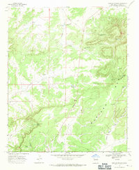
1967 · Mariano Springs
USGS Topo · 1:24,000
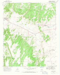
1967 · Quemado
USGS Topo · 1:24,000
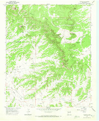
1967 · Techado
USGS Topo · 1:24,000
1972 · Lake Armijo
USGS Topo · 1:24,000
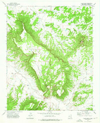
1972 · Tejana Mesa
USGS Topo · 1:24,000
1972 · Cerro Prieto
USGS Topo · 1:24,000