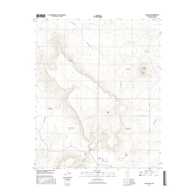
2017 Map of Tejana Mesa
USGS Topo · Published 2017About this map
Tejana Mesa and Mesa Tinaja dominate this high-desert landscape in Catron County, where deep incisions like Augustine Canyon and Dark Canyon define the drainage patterns of the region. The small settlement of El Porticito is situated near the confluence of several landforms, serving as a rare point of named human habitation in a territory primarily organized by its relief and drainage. The network of seasonal watercourses includes Largo Cr and Tejana Draw, which carve through the volcanic and sedimentary layers of the mesas.
Find a feature on this map
17 named features on this map. Tap any name to fly to it.
Don’t see what you’re looking for? This feature index may not catch every label — zoom into the map to look around manually.
Map Details
Editions of this 2017 Tejana Mesa Map
This is the sole edition of this map. No revisions or reprints were ever made.
Other maps of this area

1954 · Saint Johns
USGS Topo · 1:250,000

1957 · Saint Johns
USGS Topo · 1:250,000

1958 · Saint Johns
USGS Topo · 1:250,000

1962 · Saint Johns
USGS Topo · 1:250,000
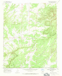
1967 · Mariano Springs
USGS Topo · 1:24,000
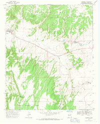
1967 · Quemado
USGS Topo · 1:24,000
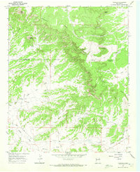
1967 · Techado
USGS Topo · 1:24,000
1972 · Lake Armijo
USGS Topo · 1:24,000
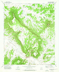
1972 · Tejana Mesa
USGS Topo · 1:24,000
1972 · Cerro Prieto
USGS Topo · 1:24,000