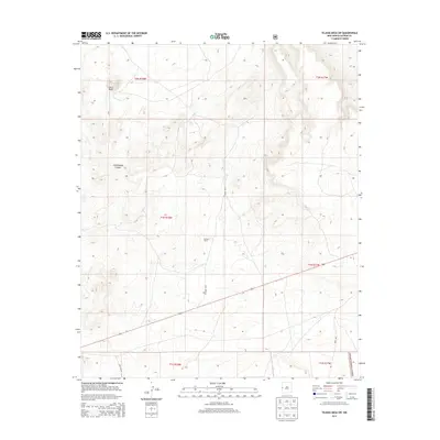
2013 Map of Tejana Mesa SW
USGS Topo · Published 2013About this map
Cerro Pomo rises as a prominent landmark in the northwest corner of this high-altitude landscape, part of a terrain defined by the deep incisions of Cottonwood Canyon. The area exhibits the characteristic isolation of the western New Mexico borderlands, where human presence is marked by sparse infrastructure and large landholdings like the Burnett Ranch. A network of unpaved arteries, including CO Road A015, Box Lake Rd, and Road 80A, connects the high mesas and provides access to the southeastern reaches of the Apache National Forest. This mapping reflects a modern era of land management, illustrating how the Public Land Survey System township and range lines continue to dictate the organization of this wide-open ranching country.
Find a feature on this map
13 named features on this map. Tap any name to fly to it.
Don’t see what you’re looking for? This feature index may not catch every label — zoom into the map to look around manually.
Map Details
Editions of this 2013 Tejana Mesa SW Map
This is the sole edition of this map. No revisions or reprints were ever made.
Other maps of this area

1954 · Saint Johns
USGS Topo · 1:250,000
1955 · Red Hill
USGS Topo · 1:24,000

1957 · Saint Johns
USGS Topo · 1:250,000

1958 · Saint Johns
USGS Topo · 1:250,000

1962 · Saint Johns
USGS Topo · 1:250,000
1972 · Zuni Salt Lake
USGS Topo · 1:24,000
1972 · Lake Armijo
USGS Topo · 1:24,000
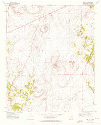
1972 · Red Hill
USGS Topo · 1:24,000
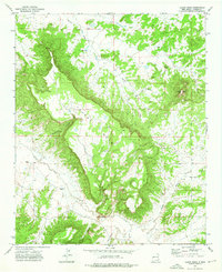
1972 · Tejana Mesa
USGS Topo · 1:24,000
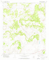
1972 · Blaines Lake
USGS Topo · 1:24,000