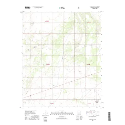
2020 Map of Tejana Mesa SW
USGS Topo · Published 2020About this map
Cerro Pomo rises as a prominent landmark in this high-altitude landscape of western New Mexico, situated within the northern reaches of the Apache National Forest. This 2020 survey documents the intersection of vast public lands and private holdings in Catron County, where deep incisions like Cottonwood Canyon carve through the mesa terrain. The map details a network of forest roads, including Catron County Road A015 and A075, which traverse the township and range lines of T2N R18W and T2N R17W. While human structures are sparse, the land is meticulously partitioned, reflecting the complex management of timber and grazing resources characteristic of the modern American West.
Find a feature on this map
1 named feature on this map. Tap any name to fly to it.
Don’t see what you’re looking for? This feature index may not catch every label — zoom into the map to look around manually.
Map Details
Editions of this 2020 Tejana Mesa SW Map
This is the sole edition of this map. No revisions or reprints were ever made.
Other maps of this area

1954 · Saint Johns
USGS Topo · 1:250,000
1955 · Red Hill
USGS Topo · 1:24,000

1957 · Saint Johns
USGS Topo · 1:250,000

1958 · Saint Johns
USGS Topo · 1:250,000

1962 · Saint Johns
USGS Topo · 1:250,000
1972 · Zuni Salt Lake
USGS Topo · 1:24,000
1972 · Lake Armijo
USGS Topo · 1:24,000
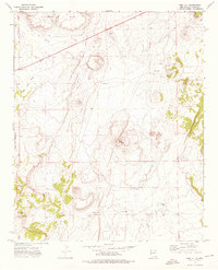
1972 · Red Hill
USGS Topo · 1:24,000
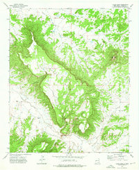
1972 · Tejana Mesa
USGS Topo · 1:24,000
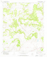
1972 · Blaines Lake
USGS Topo · 1:24,000