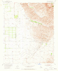
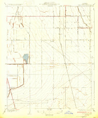
1955 Map of Tejon Hills
USGS Topo · Published 1965About this map
Rancho El Tejon Grant Boundary defines the transition from the alluvial valley floor into the uplifted terrain of the Tehachapi Hills and Tejon Hills. This 1955 survey captures an era of industrial expansion into the Kern County landscape, evidenced by the Comanche Point Oil Field and a prominent Pipeline traversing the southern portion of the sheet. At the base of the mountains, drainage systems like Tejon Creek and El Paso Creek descend toward the agricultural flats, where local infrastructure such as a Cotton Gin and the settlement at Caparell supported the region's economy. The landscape is characterized by its network of water sources, including Bino Springs, which were critical for both ranching and the emerging oil industry during the mid-20th century.
Find a feature on this map
19 named features on this map. Tap any name to fly to it.
Don’t see what you’re looking for? This feature index may not catch every label — zoom into the map to look around manually.
Map Details
Editions of this 1955 Tejon Hills Map
4 editions found
Other maps of this area

1903 · Tejon
USGS Topo · 1:125,000

1914 · Caliente
USGS Topo · 1:125,000

1930 · Weed Patch
USGS Topo · 1:31,680

1930 · Bear Mountain
USGS Topo · 1:31,680

1930 · Arvin
USGS Topo · 1:31,680

1931 · West of Tejon Hills
USGS Topo · 1:31,680

1931 · Tejon Hills
USGS Topo · 1:31,680

1933 · Arvin
USGS Topo · 1:31,680
1933 · Weed Patch
USGS Topo · 1:31,680

1933 · Tejon Hills
USGS Topo · 1:31,680