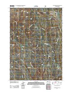
2011 Map of Telephone Butte
USGS Topo · Published 2011About this map
Telephone Butte rises as a central landmark in this high-altitude landscape of Harney County, characterized by an extensive network of springs and timber-management infrastructure. The 2011 survey details the upper reaches of the Rattlesnake Creek drainage, including the West Fork Rattlesnake Creek and East Fork Rattlesnake Creek, alongside the headwaters of Cow Creek. Evidence of the region's logging and grazing history is found in places like Lowe Mill and several broad clearings such as Call Meadow and Haystack Meadow.
Find a feature on this map
41 named features on this map. Tap any name to fly to it.
Don’t see what you’re looking for? This feature index may not catch every label — zoom into the map to look around manually.
Map Details
Editions of this 2011 Telephone Butte Map
This is the sole edition of this map. No revisions or reprints were ever made.
Other maps of this area

1955 · Burns
USGS Topo · 1:250,000

1958 · Burns
USGS Topo · 1:250,000

1959 · Burns
USGS Topo · 1:250,000

1959 · Harney
USGS Topo · 1:62,500

1961 · Calamity Butte
USGS Topo · 1:62,500

1968 · Van
USGS Topo · 1:62,500

1973 · Buchanan
USGS Topo · 1:24,000

1978 · Stinkingwater Mountains
USGS Topo · 1:100,000
1990 · Calamity Butte
USGS Topo · 1:24,000
1990 · Harney
USGS Topo · 1:24,000