
2020 Map of Telephone Butte
USGS Topo · Published 2020About this map
Malheur National Forest encompasses this high-elevation landscape in Harney County, where the topography is defined by prominent peaks and a complex network of seasonal water sources. Telephone Butte and King Mtn dominate the central and western terrain, providing natural landmarks for those navigating the backcountry. The area is notable for its abundance of named water points, including Two-Bit Spring, Telephone Spring, and Harney Road Spring, which serve as vital hydration sources in this arid environment. Extensive meadows such as Haystack Meadow, Cabin Meadow, and Perry Meadows break up the forested reaches, likely serving as important grazing or camping grounds. The presence of Black Rock and Little Black-Rock highlights the volcanic character of the region. Drainage systems like W Fork Rattlesnake Cr and Coffeepot Cr reveal the intricate watershed patterns that shape the local ecology.
Find a feature on this map
44 named features on this map. Tap any name to fly to it.
Don’t see what you’re looking for? This feature index may not catch every label — zoom into the map to look around manually.
Map Details
Editions of this 2020 Telephone Butte Map
This is the sole edition of this map. No revisions or reprints were ever made.
Other maps of this area

1955 · Burns
USGS Topo · 1:250,000

1958 · Burns
USGS Topo · 1:250,000

1959 · Burns
USGS Topo · 1:250,000
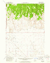
1959 · Harney
USGS Topo · 1:62,500
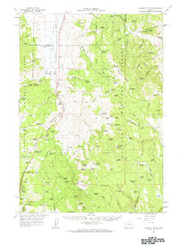
1961 · Calamity Butte
USGS Topo · 1:62,500
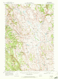
1968 · Van
USGS Topo · 1:62,500
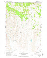
1973 · Buchanan
USGS Topo · 1:24,000
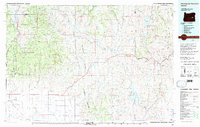
1978 · Stinkingwater Mountains
USGS Topo · 1:100,000
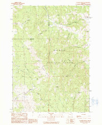
1990 · Calamity Butte
USGS Topo · 1:24,000
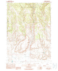
1990 · Harney
USGS Topo · 1:24,000