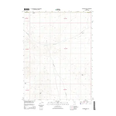
2014 Map of Telephone Well
USGS Topo · Published 2014About this map
Fireball Ridge and the Sahwave Mountains define the high-desert landscape of this West-Central Nevada quadrangle. Located in northern Churchill County, the area is characterized by dramatic elevation changes where mountain slopes descend into the North Valley. The named settlement of Telephone Well stands as a focal point for the region's sparse infrastructure, situated along Sagehen Creek Rd as it tracks through the arid terrain. Natural drainage is primarily defined by Sage Hen Wash, which cuts across the central and northern sections of the map, illustrating the ephemeral water patterns typical of the Great Basin. To the east, the foothills of the Trinity Range mark the transition toward further mountain systems, while the extensive public land survey system grid overlay emphasizes the vast, open nature of this Churchill County interior.
Find a feature on this map
14 named features on this map. Tap any name to fly to it.
Don’t see what you’re looking for? This feature index may not catch every label — zoom into the map to look around manually.
Map Details
Editions of this 2014 Telephone Well Map
This is the sole edition of this map. No revisions or reprints were ever made.
Other maps of this area

1886 · Granite Range
USGS Topo · 1:250,000
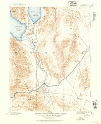
1890 · Wadsworth
USGS Topo · 1:125,000
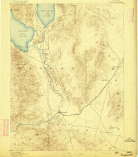
1892 · Wadsworth
USGS Topo · 1:125,000

1894 · Granite Range
USGS Topo · 1:250,000
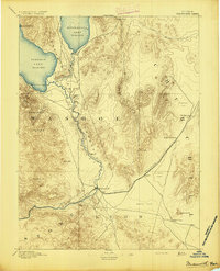
1894 · Wadsworth
USGS Topo · 1:125,000
1908 · Carson Sink
USGS Topo · 1:250,000
1910 · Carson Sink
USGS Topo · 1:250,000

1931 · Lovelock
USGS Topo · 1:250,000

1935 · Lovelock
USGS Topo · 1:250,000
1951 · Desert Peak
USGS Topo · 1:62,500