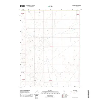
2018 Map of Telephone Well
USGS Topo · Published 2018About this map
Sahwave Mountains and the Trinity Range define the arid topography of this Churchill County expanse, where the landscape is shaped by dramatic ridgelines and broad drainage basins. The map illustrates a high-desert environment dominated by Fireball Ridge to the south and the wide opening of North Valley to the west. Central to the area's hydrology and namesake is the drainage of Sage Hen Wash, which cuts across the central and northern sections of the sheet. The presence of Telephone Well in the northeastern quadrant suggests the critical importance of specific water points in this remote terrain, supporting the intermittent needs of ranching or transit through the basin-and-range country. The survey detail highlights the intricate contouring of these distinct mountain ranges, providing a clear record of the region's natural geography and township boundaries.
Find a feature on this map
14 named features on this map. Tap any name to fly to it.
Don’t see what you’re looking for? This feature index may not catch every label — zoom into the map to look around manually.
Map Details
Editions of this 2018 Telephone Well Map
This is the sole edition of this map. No revisions or reprints were ever made.
Other maps of this area

1886 · Granite Range
USGS Topo · 1:250,000
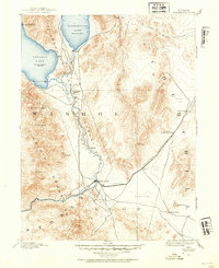
1890 · Wadsworth
USGS Topo · 1:125,000
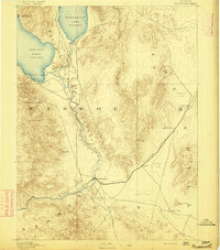
1892 · Wadsworth
USGS Topo · 1:125,000

1894 · Granite Range
USGS Topo · 1:250,000
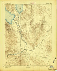
1894 · Wadsworth
USGS Topo · 1:125,000
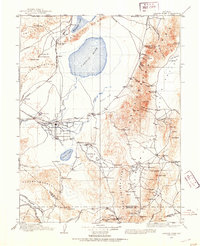
1908 · Carson Sink
USGS Topo · 1:250,000
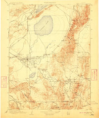
1910 · Carson Sink
USGS Topo · 1:250,000

1931 · Lovelock
USGS Topo · 1:250,000

1935 · Lovelock
USGS Topo · 1:250,000
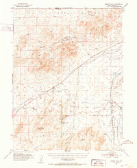
1951 · Desert Peak
USGS Topo · 1:62,500