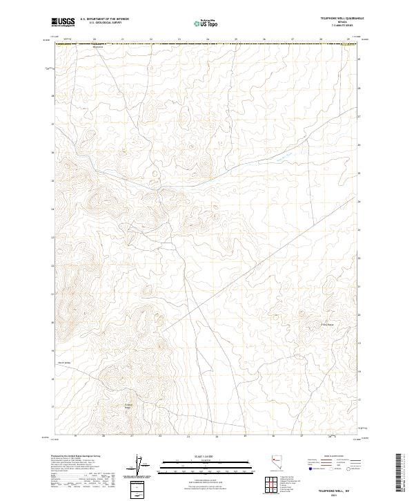
2021 Map of Telephone Well
USGS Topo · Published 2021About this map
The Sahwave Mountains define the northern horizon of this high-desert landscape in Churchill County, Nevada. The terrain is characterized by broad alluvial fans and drainage channels such as Sage Hen Wash, which cuts across the central basins. This area remains largely undeveloped, showcasing the raw topography of the Great Basin as it appeared during the 2021 survey. To the south, the prominent Fireball Ridge and the western edge of the Trinity Range frame the wide expanse of North Valley. The map detail captures a complex network of unpaved roads and section lines across various townships, including t24n r26e and t24n r25e, illustrating the persistent grid of the Public Land Survey System in a region dominated by desert wilderness.
Find a feature on this map
13 named features on this map. Tap any name to fly to it.
Don’t see what you’re looking for? This feature index may not catch every label — zoom into the map to look around manually.
Map Details
Editions of this 2021 Telephone Well Map
This is the sole edition of this map. No revisions or reprints were ever made.
Other maps of this area

1886 · Granite Range
USGS Topo · 1:250,000

1890 · Wadsworth
USGS Topo · 1:125,000

1892 · Wadsworth
USGS Topo · 1:125,000

1894 · Granite Range
USGS Topo · 1:250,000

1894 · Wadsworth
USGS Topo · 1:125,000

1908 · Carson Sink
USGS Topo · 1:250,000

1910 · Carson Sink
USGS Topo · 1:250,000

1931 · Lovelock
USGS Topo · 1:250,000

1935 · Lovelock
USGS Topo · 1:250,000

1951 · Desert Peak
USGS Topo · 1:62,500