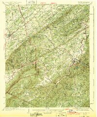
1943 Map of Tellico
USGS Topo · Published 1943About this map
The Louisville And Nashville RR bisects the western landscape of this Tennessee region, connecting Englewood and Old Englewood to the broader commerce of the 1930s. The terrain transitions from the rolling valley floors of Chestuee Creek and Conasauga Creek toward the rising elevations of the Unicoi Mountains in the southeast. This map reveals a high density of rural institutions that once anchored these communities, including Mars Hill Ch, Jalapa, and numerous family-named landmarks such as McDaniel Knob and Haun Knob.
Find a feature on this map
67 named features on this map. Tap any name to fly to it.
Don’t see what you’re looking for? This feature index may not catch every label — zoom into the map to look around manually.
Map Details
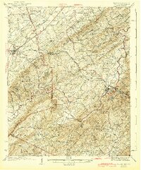
Editions of this 1943 Tellico Map
2 editions found
Other maps of this area

1886 · Cleveland
USGS Topo · 1:125,000

1887 · Kingston
USGS Topo · 1:125,000

1891 · Kingston
USGS Topo · 1:125,000

1892 · Cleveland
USGS Topo · 1:125,000

1893 · Murphy
USGS Topo · 1:125,000

1893 · Kingston
USGS Topo · 1:125,000

1895 · Cleveland
USGS Topo · 1:125,000

1895 · Loudon
USGS Topo · 1:125,000

1901 · Cleveland
USGS Topo · 1:125,000

1914 · Murphy
USGS Topo · 1:125,000