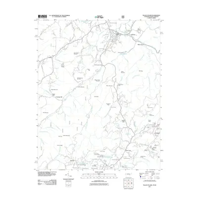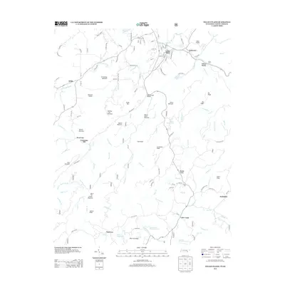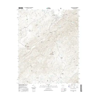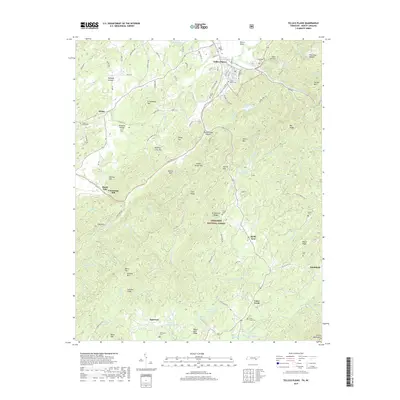
2022 Map of Tellico Plains
USGS Topo · Published 2022About this map
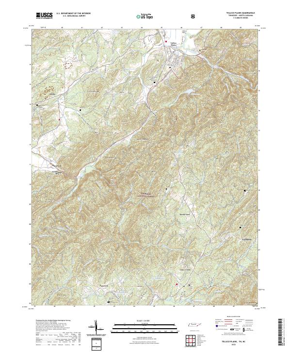
Tellico Plains stands as the primary gateway to the high country where the Tellico River cuts through the ridges of the Cherokee National Forest. This 2022 survey captures the transition from the settled valley floors of Jalapa and Rural Vale into the steep terrain of the Unicoi Mountains. The landscape is dotted with small-scale agricultural settlements and community landmarks, such as Conasauga Mill and the Unicoi Missionary Baptist Church, reflecting the area's enduring rural character.
Find a feature on this map
141 named features on this map. Tap any name to fly to it.
Don’t see what you’re looking for? This feature index may not catch every label — zoom into the map to look around manually.
Map Details
Editions of this 2022 Tellico Plains Map
This is the sole edition of this map. No revisions or reprints were ever made.
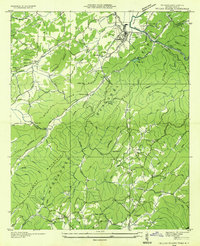
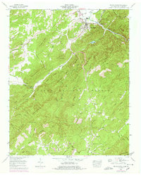
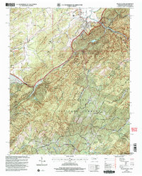
Historical Maps of Tellico Plains Through Time
8 maps found