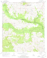
1954 Map of Temple
USGS Topo · Published 1976About this map
Kisatchie National Forest covers the northern and western reaches of this central Louisiana landscape, where the convergence of Natchitoches, Rapides, and Vernon Parishes creates a complex web of small settlements and rural landmarks. The community of Temple sits near the center, connected to the logging and transit history of the area by the Temple Spur and several segments of Old RR Grade. Small rural nodes like Mora and Burnstown are defined by their local institutions, including the Mora School and Pine Grove Church.
Find a feature on this map
40 named features on this map. Tap any name to fly to it.
Don’t see what you’re looking for? This feature index may not catch every label — zoom into the map to look around manually.
Map Details
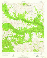
Editions of this 1954 Temple Map
2 editions found
Other maps of this area

1937 · Chopin NE
USGS Topo · 1:31,680

1937 · Chopin SW
USGS Topo · 1:31,680

1937 · Chopin NW
USGS Topo · 1:31,680

1937 · Chopin SE
USGS Topo · 1:31,680

1941 · Slagle
USGS Topo · 1:62,500

1942 · Kisatchie
USGS Topo · 1:62,500

1943 · Leander
USGS Topo · 1:62,500

1943 · Kisatchie
USGS Topo · 1:62,500

1944 · Chopin
USGS Topo · 1:62,500

1944 · Slagle
USGS Topo · 1:62,500