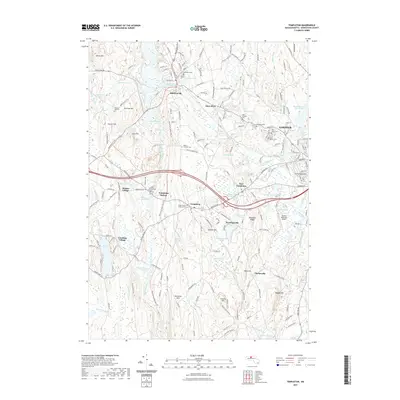
2021 Map of Templeton
USGS Topo · Published 2021About this map
Gardner and the surrounding Worcester County townships are defined by a complex network of glacial ponds and narrow river valleys. The Otter River and Burnshirt River systems meander through a terrain of named rises such as Norcross Hill and Elliott Hill, which historically dictated the placement of early settlements like Baldwinville and East Templeton. The modern landscape reveals a transition from industry to recreation, where the Ware River Valley Rail Trl now follows the path of former rail commerce through Templeton Station.
Find a feature on this map
180 named features on this map. Tap any name to fly to it.
Don’t see what you’re looking for? This feature index may not catch every label — zoom into the map to look around manually.
Map Details
Editions of this 2021 Templeton Map
This is the sole edition of this map. No revisions or reprints were ever made.
Other maps of this area

1885 · Worcester
USGS Topo · 1:62,500

1886 · Worcester
USGS Topo · 1:62,500

1887 · Winchendon
USGS Topo · 1:62,500

1887 · Barre
USGS Topo · 1:62,500

1887 · Fitchburg
USGS Topo · 1:62,500

1889 · Fitchburg
USGS Topo · 1:62,500

1889 · Barre
USGS Topo · 1:62,500

1890 · Winchendon
USGS Topo · 1:62,500

1892 · Worcester
USGS Topo · 1:62,500

1893 · Fitchburg
USGS Topo · 1:62,500