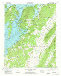
1973 Map of Ten Mile
USGS Topo · Published 1975About this map
Watts Bar Lake and the Tennessee River define the western geography of this region, where the flooded shoreline has created numerous inlets and peninsulas such as Iron Bend. The landscape transitioning eastward into Hurricane Valley is dotted with small family-named cemeteries and rural landmarks that speak to the deep-rooted settlement patterns of the area. Significant local history is preserved in sites like Old Pleasant Hill Cem and Hornsbys Chapel Cem, while the community core at Ten Mile serves as a central point along the Ten Mile Knob ridge. Numerous resorts and campgrounds, including Arrowhead Resort and Eden of the Lake, highlight the mid-century evolution of the riverfront into a recreational destination. Traces of older infrastructure remain visible through the Old Ferry Road and the Private Road networks that navigate the hollows of Hurricane Ridge.
Find a feature on this map
89 named features on this map. Tap any name to fly to it.
Don’t see what you’re looking for? This feature index may not catch every label — zoom into the map to look around manually.
Map Details
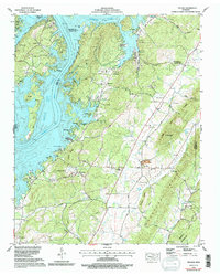
Editions of this 1973 Ten Mile Map
2 editions found
Other maps of this area

1887 · Kingston
USGS Topo · 1:125,000

1891 · Kingston
USGS Topo · 1:125,000

1893 · Kingston
USGS Topo · 1:125,000

1935 · Niota
USGS Topo · 1:24,000

1935 · Rockwood
USGS Topo · 1:24,000

1935 · Decatur
USGS Topo · 1:24,000

1936 · Roddy
USGS Topo · 1:24,000

1936 · Spring City
USGS Topo · 1:24,000
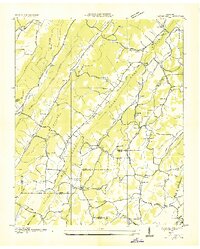
1936 · Pattie Gap
USGS Topo · 1:24,000
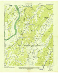
1936 · Ten Mile
USGS Topo · 1:24,000