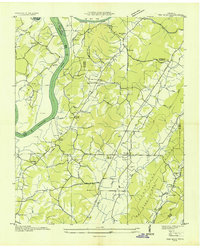
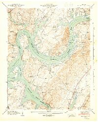
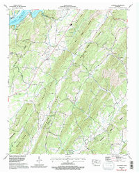
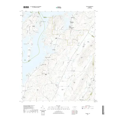
1973 Map of Ten Mile
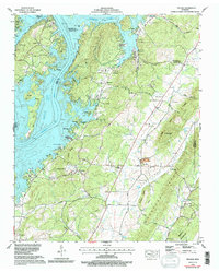
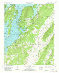
USGS Topo · Published 1996About this map
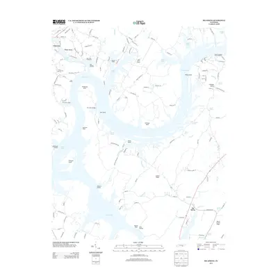
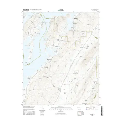
Watts Bar Lake and the Tennessee River define the western portion of this Meigs County landscape, where the water has submerged portions of the older valley floor near Gillespie Island. The map documents a dense network of family and community history, evidenced by numerous burial grounds like the Old Pleasant Hill Cem and Deatherege Cem. Local activity is concentrated near the community of Ten Mile, which features the Ten Mile Sch and a nearby substation, while the shoreline of the impounded river is dotted with recreational landmarks such as Euchee Dock and the Red Cloud Campground.
Find a feature on this map
85 named features on this map. Tap any name to fly to it.
Don’t see what you’re looking for? This feature index may not catch every label — zoom into the map to look around manually.
Map Details
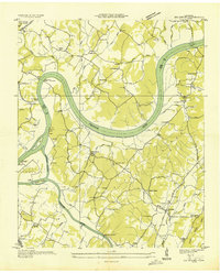
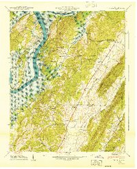
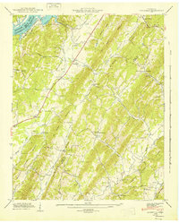
Editions of this 1973 Ten Mile Map
2 editions found
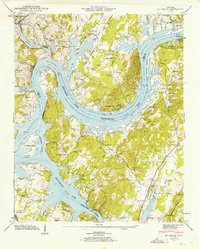
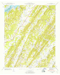
Historical Maps of Watts Bar Estates Through Time
27 maps found
1935 Big Spring
Meigs County, TN
1935 Goodfield
Meigs County, TN
1936 Ten Mile
Meigs County, TN
1940 Ten Mile
Meigs County, TN
1942 Big Spring
Meigs County, TN
1942 Goodfield
Meigs County, TN
1943 Big Spring
Meigs County, TN
1943 Goodfield
Meigs County, TN
1952 Ten Mile
Meigs County, TN
1967 Big Spring
Meigs County, TN
1967 Goodfield
Meigs County, TN
1973 Ten Mile
Meigs County, TN
2010 Big Spring
Meigs County, TN
2010 Goodfield
Meigs County, TN
2011 Ten Mile
Meigs County, TN
2013 Big Spring
Meigs County, TN
2013 Goodfield
Meigs County, TN
2013 Ten Mile
Meigs County, TN
2016 Big Spring
Meigs County, TN
2016 Goodfield
Meigs County, TN
2016 Ten Mile
Meigs County, TN
2019 Big Spring
Meigs County, TN
2019 Goodfield
Meigs County, TN
2019 Ten Mile
Meigs County, TN
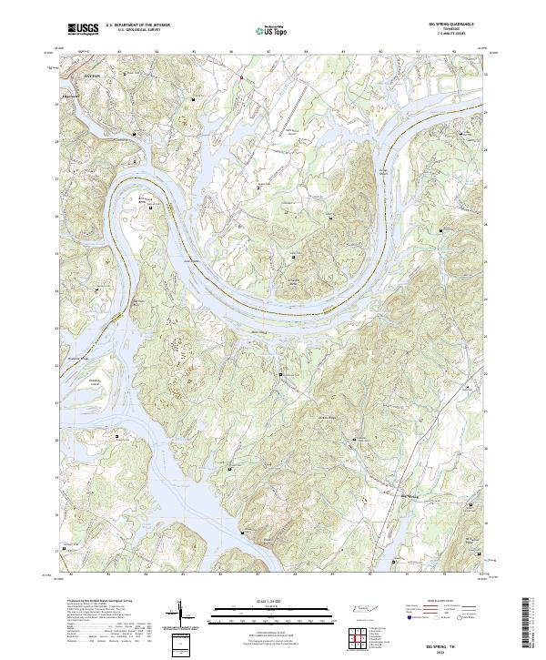
2022 Big Spring
Meigs County, TN
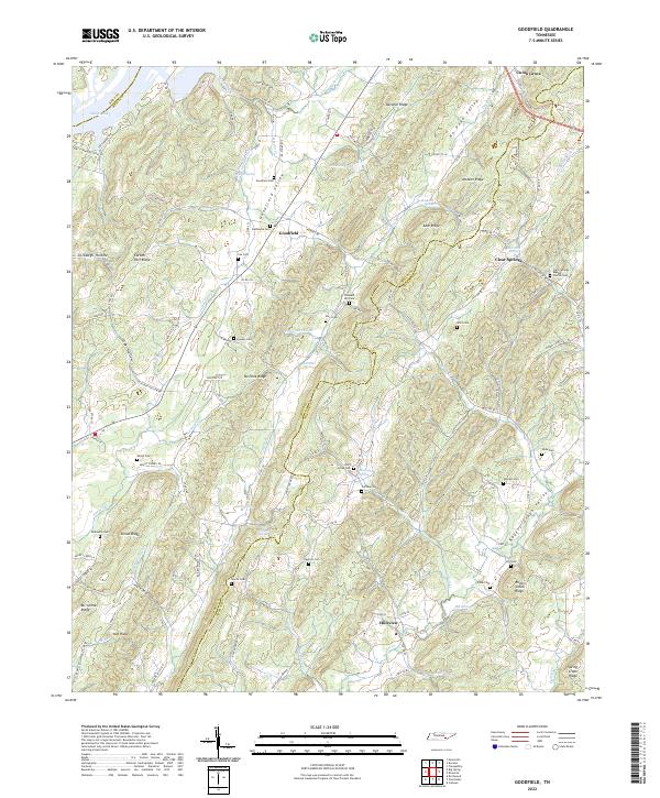
2022 Goodfield
Meigs County, TN
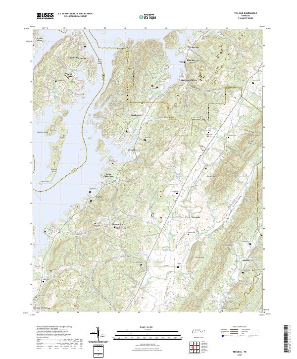
2022 Ten Mile
Meigs County, TN