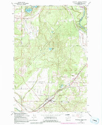
1959 Map of Tenalquot Prairie
USGS Topo · Published 1991About this map
Tenalquot Prairie dominates the landscape of Thurston County in this late 1950s survey, showing a complex network of glacial kettle lakes and prairie land. The settlement of Rainier serves as a focal point in the southern portion, situated at the intersection of several major rail lines including the Chicago Milwaukee St Paul and Pacific and the Northern Pacific. The map captures the area as it functioned as a vital transportation and agricultural corridor, with the Centralia Canal and Nisqually River defining the northeastern boundary.
Find a feature on this map
48 named features on this map. Tap any name to fly to it.
Don’t see what you’re looking for? This feature index may not catch every label — zoom into the map to look around manually.
Map Details
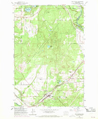
Editions of this 1959 Tenalquot Prairie Map
3 editions found

Other maps of this area

1916 · Chehalis
USGS Topo · 1:125,000

1937 · Olympia
USGS Topo · 1:62,500

1940 · Tenino
USGS Topo · 1:62,500

1940 · Anderson Island
USGS Topo · 1:62,500

1944 · Tenino
USGS Topo · 1:62,500

1944 · Yelm
USGS Topo · 1:62,500

1948 · Anderson Island
USGS Topo · 1:62,500
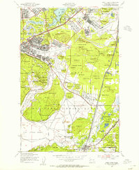
1948 · Fort Lewis
USGS Topo · 1:24,000

1948 · Nisqually
USGS Topo · 1:24,000
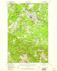
1949 · Yelm
USGS Topo · 1:62,500