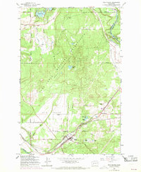
1959 Map of Weir Prairie
USGS Topo · Published 1969About this map
Fort Lewis Military Reservation dominates much of the central landscape, showing a dedicated training area within Thurston and Pierce counties during the late 1950s and 1960s. The settlement of Rainier serves as a southern hub, situated where the Northern Pacific and St Paul Milwaukee Chicago Great Northern railroads converge. This rail corridor is a primary industrial artery, running parallel to the Centralia Canal and passing by local landmarks like the Rodeo Grounds and McClure Lake.
Find a feature on this map
47 named features on this map. Tap any name to fly to it.
Don’t see what you’re looking for? This feature index may not catch every label — zoom into the map to look around manually.
Map Details
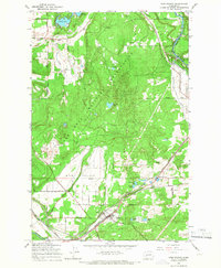
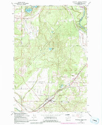
Editions of this 1959 Weir Prairie Map
3 editions found
Other maps of this area

1916 · Chehalis
USGS Topo · 1:125,000

1937 · Olympia
USGS Topo · 1:62,500

1940 · Tenino
USGS Topo · 1:62,500

1940 · Anderson Island
USGS Topo · 1:62,500

1944 · Tenino
USGS Topo · 1:62,500

1944 · Yelm
USGS Topo · 1:62,500

1948 · Anderson Island
USGS Topo · 1:62,500

1948 · Fort Lewis
USGS Topo · 1:24,000

1948 · Nisqually
USGS Topo · 1:24,000

1949 · Yelm
USGS Topo · 1:62,500