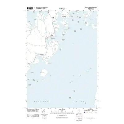
2011 Map of Tenants Harbor
USGS Topo · Published 2011About this map
The sheltered anchorage of Tenants Harbor serves as a focal point for this coastal Knox County landscape, where the seafaring history of the Maine shore meets a network of granite-era road names. This early 21st-century documentation traces the irregular peninsula of Hart Neck and the interconnected islands of the Muscongus Bay approaches. Settlements like Martinsville and Elmore are situated among the coves, while family and local history is anchored at Seaside Cemetery and Hillside Cemetery.
Find a feature on this map
78 named features on this map. Tap any name to fly to it.
Don’t see what you’re looking for? This feature index may not catch every label — zoom into the map to look around manually.
Map Details
Editions of this 2011 Tenants Harbor Map
This is the sole edition of this map. No revisions or reprints were ever made.
Other maps of this area

1904 · Monhegan
USGS Topo · 1:62,500

1904 · Tenants Harbor
USGS Topo · 1:62,500

1904 · Rockland
USGS Topo · 1:62,500

1906 · Tennant Harbor
USGS Topo · 1:62,500

1906 · Monhegan
USGS Topo · 1:62,500

1906 · Rockland
USGS Topo · 1:62,500

1913 · Waldoboro
USGS Topo · 1:48,000

1915 · Waldoboro
USGS Topo · 1:62,500

1941 · Rockland
USGS Topo · 1:62,500

1941 · Waldoboro
USGS Topo · 1:62,500